
Informations
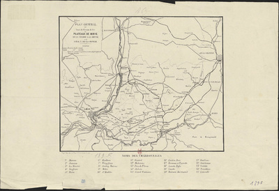
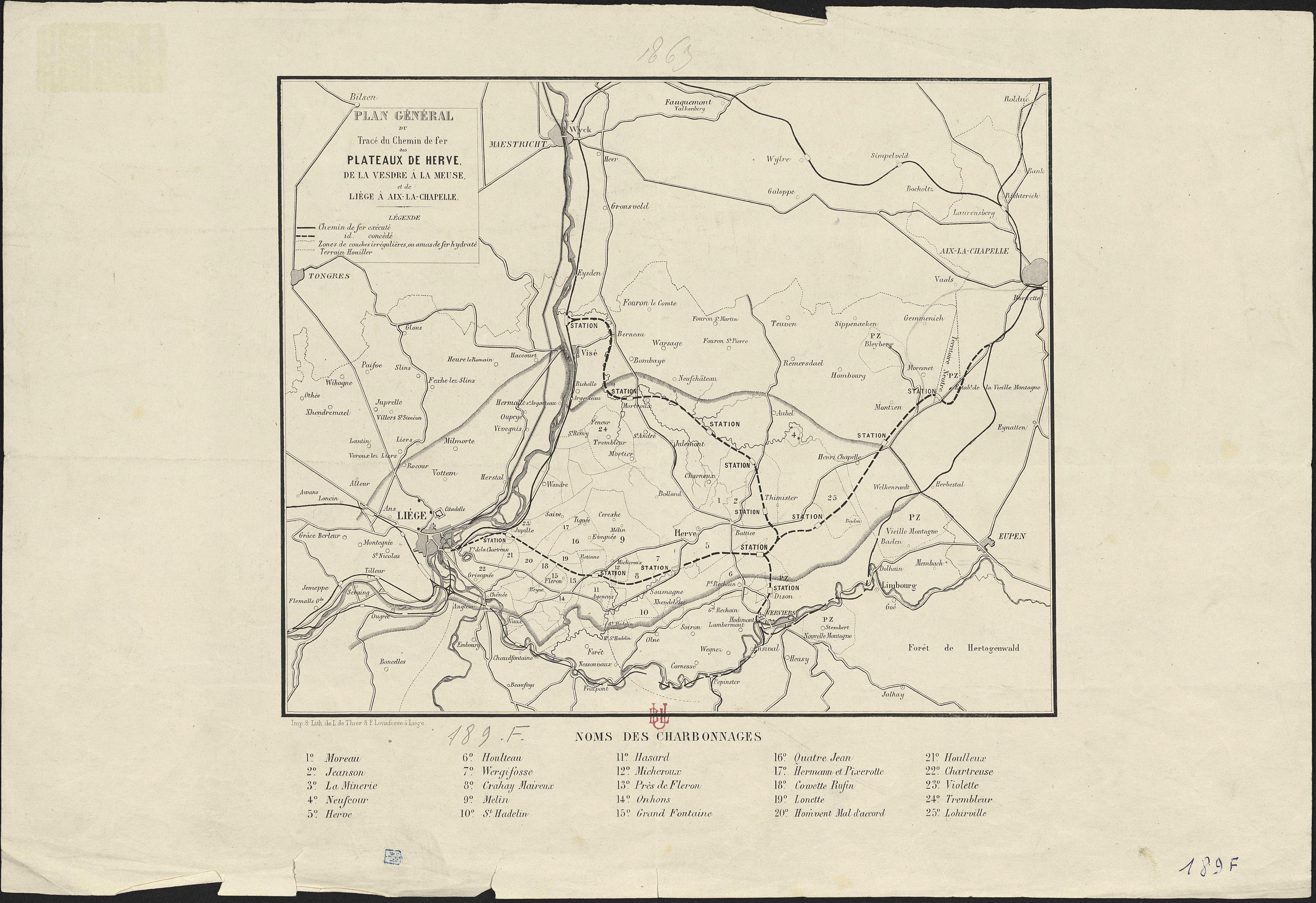
Plan général du tracé du chemin de fer des plateaux de Herve, de la Vesdre à la Meuse et de Liège à Aix la Chapelle.
Authors, creators, collaborators :
Type of the represented object : Plan (map)
Permalink
https://hdl.handle.net/2268.1/3746
Détails
| Producers, publishers: | Liège : L. de Thier et F. Lovinfosse. |
| Place of creation of the original object: | Liège (Belgique) |
| First publication of the original object: | 1856? 19th century Contemporary time (1789-20..) |
| Original object location: | Réseau des Bibliothèques |
| Collection: | Maps |
| Identifiers: | 189F (cote ULiège) 709504337 (code-barres ULiège) |
| Réseau des Bibliothèques: | Identifier: 990000072260502321 |
| Original object language: | French |
| Abstract: | Echelle non mentionnée. Légende reprenant les symboles utilisés pour représenter les lignes de chemin de fer et les terrains. Reprend également les numéros utilisés pour situer les différents charbonnages. |
| Material, support of the original object: | Papier |
| Dimensions, weight or duration: | 23 x 28 cm |
| Physical description of the represented object : | 1 carte |
| Geographical Location represent or evoke: | Liège (Belgique, province) |
| Keyword: | Chemins de fer -- Belgique -- Cartes |
| CREF classifications: | Bâtiments, génie civil, transports |
| Classifications: | Engineering, computing & technology => Civil engineering |
| Part of: | Public domain |
| Permalink: | https://hdl.handle.net/2268.1/3746 |
Items in DONum are protected by copyright, with all rights reserved, unless otherwise indicated.
