
Informations
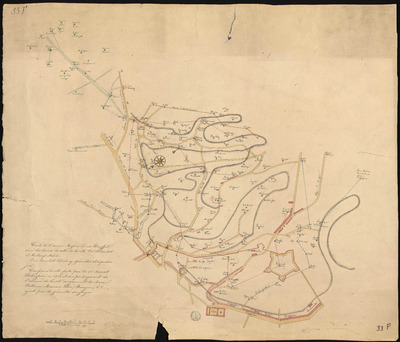
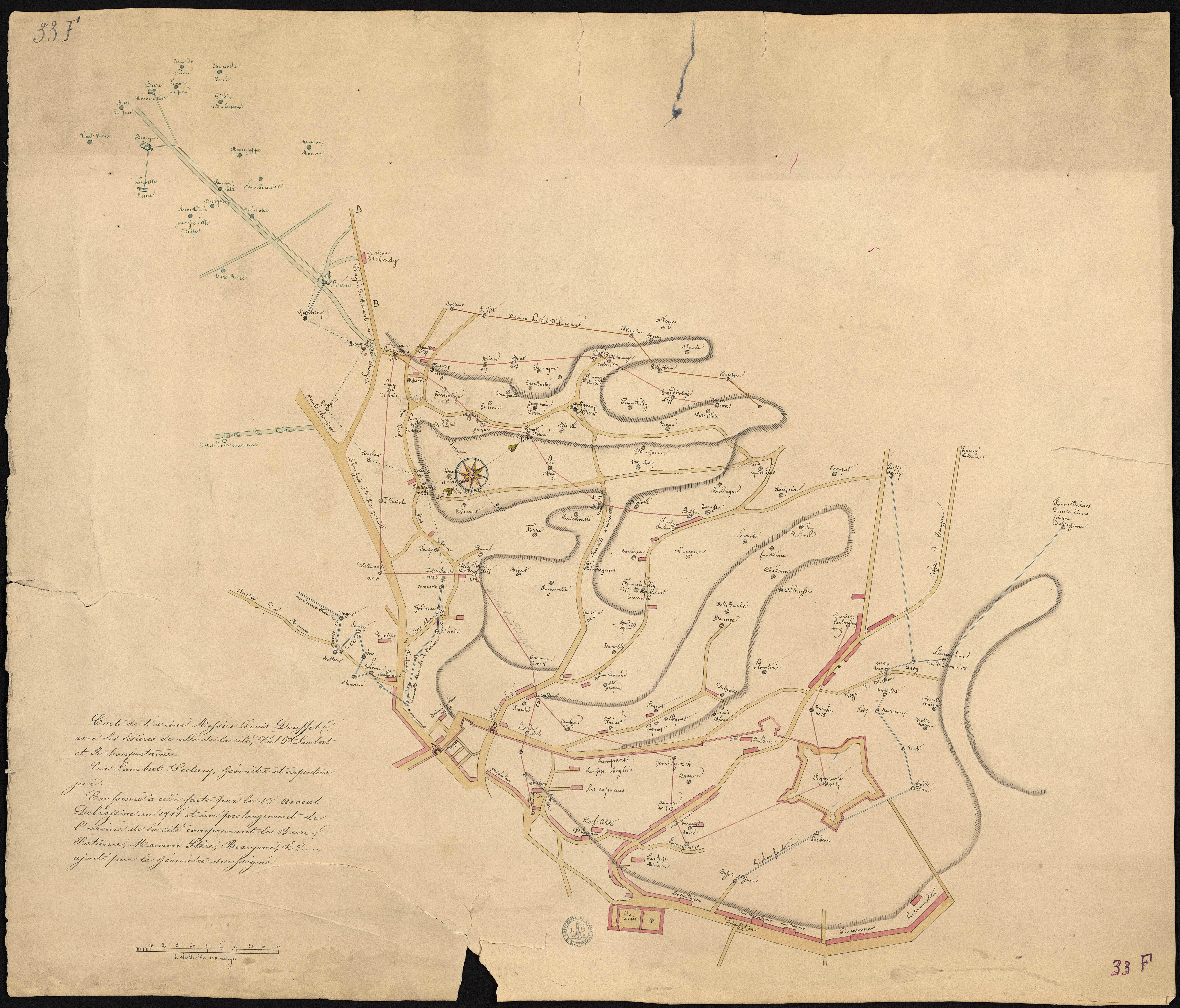
Carte de l'areine Messire Louis Dousset avec les lisières de celle de la cité, Val St Lambert et Richonfontaine. Par Lambert Leclercq, géomètre et arpenteur juré. Conforme à celle faite par le sr. avocat Debrassine en 1716 et un prolongement de l'areine de la cité comprenant les Burel Patience, Mamon Stère, Beaujone, etc..., ajouté par le géomètre soussigné.
Author(s), creator(s), collaborator(s) : Leclercq, Lambert
Type of the represented object : Map
Permalink
https://hdl.handle.net/2268.1/2656
Détails
| Author(s), creator(s), collaborator(s): | Leclercq, Lambert (author) |
| Creation of the original object: | 19th century Contemporary time (1789-20..) |
| Original object location: | Réseau des Bibliothèques |
| Collection: | Maps |
| Identifiant(s): | 33F (cote ULiège) ; 701102787 (code-barres ULiège) |
| Original object language: | French |
| Abstract: | Echelle [env. 1:1 300 000] |
| Material, support of the original object: | Papier |
| Dimensions, weight or duration: | 53 x 62 cm |
| Physical description of the represented object : | 1 carte : couleurs |
| Geographical Location represent or evoke: | Liège (Belgique) |
| Keyword: | Liège (Belgique) -- Cartes |
| CREF classification(s): | Sciences de la terre et du cosmos |
| Classification(s): | Physical, chemical, mathematical & earth Sciences => Earth sciences & physical geography |
| Part of: | Public domain |
| Permalink: | https://hdl.handle.net/2268.1/2656 |
Items in DONum are protected by copyright, with all rights reserved, unless otherwise indicated.