
Informations
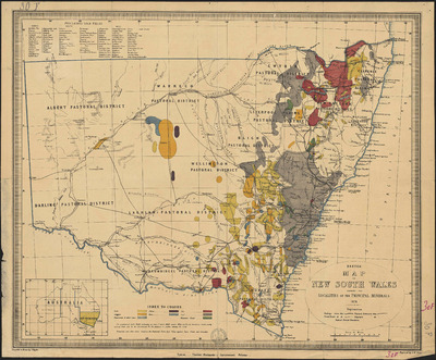
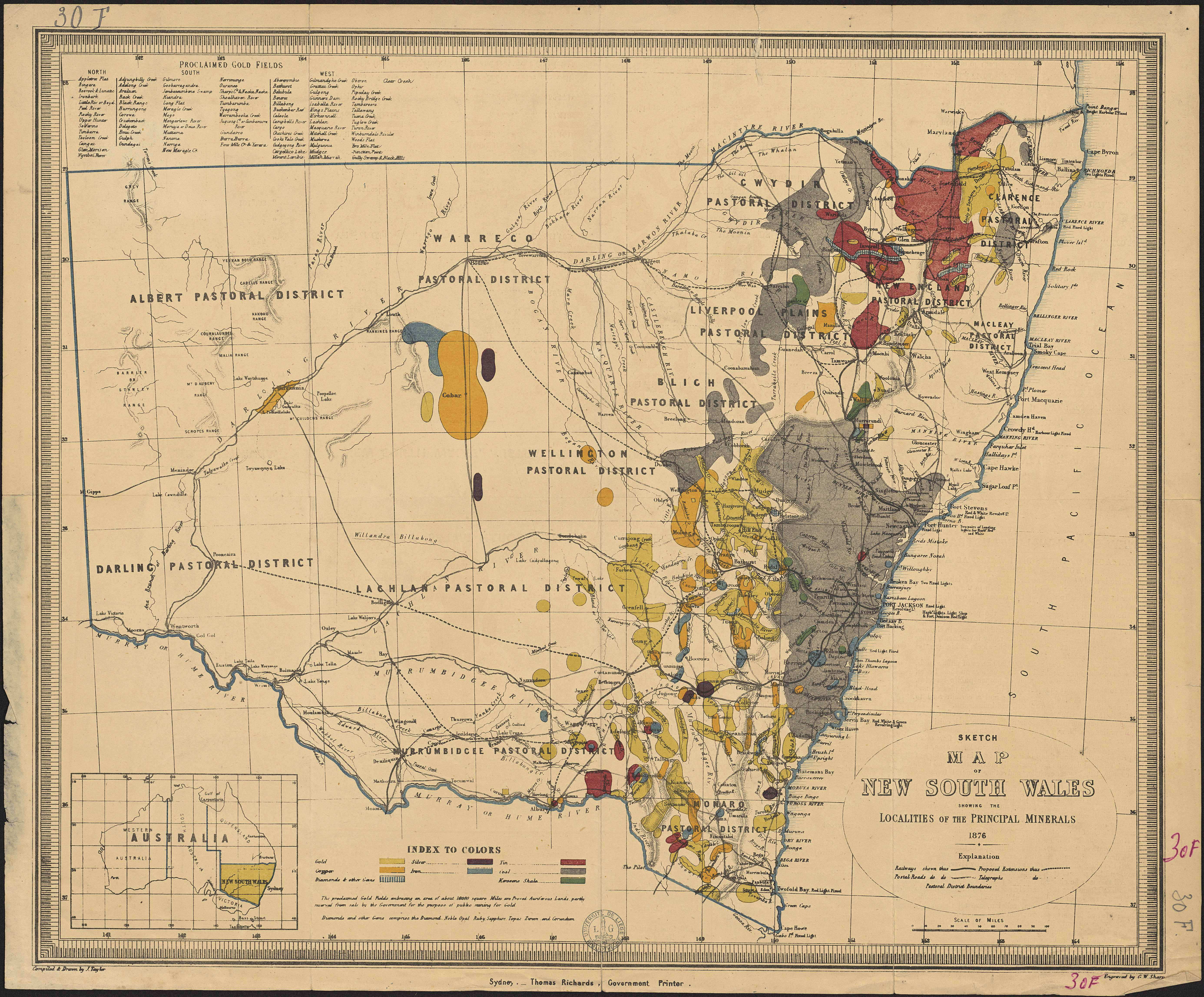
Sketch map of New South Wales showing the localities of the principal minerals.
Author(s), creator(s), collaborator(s) : Taylor, J.; Sharp, G. W.
Type of the represented object : Map
Permalink
https://hdl.handle.net/2268.1/2653
Détails
| Author(s), creator(s), collaborator(s): | Taylor, J. (author) Sharp, G. W. (engraver) |
| Editor: | Thomas Richards |
| Place of creation of the original object: | Sydney (Australie) |
| First publication of the original object: | 1876 19th century Contemporary time (1789-20..) |
| Original object location: | Réseau des Bibliothèques |
| Collection: | Maps |
| Identifiant(s): | 30F (cote ULiège) ; 701102815 (code-barres ULiège) |
| Original object language: | English |
| Abstract: | Echelle [1:3 100 000] |
| Material, support of the original object: | Papier |
| Dimensions, weight or duration: | 101 x 72 cm |
| Description: | Légende reprenant les couleurs utilisées pour représenter les différents minéraux ainsi que les symboles pour représenter les chemins de fer, les routes postales et les lignes télégraphiques |
| Geographical Location represent or evoke: | Nouvelle-Galles du Sud (Australie) |
| Keyword: | Nouvelle-Galles du Sud (Australie) -- Cartes; Australie -- Cartes; Minerais -- Cartes |
| CREF classification(s): | Sciences de la terre et du cosmos |
| Classification(s): | Physical, chemical, mathematical & earth Sciences => Earth sciences & physical geography |
| Part of: | Public domain |
| Permalink: | https://hdl.handle.net/2268.1/2653 |

Items in DONum are protected by copyright, with all rights reserved, unless otherwise indicated.