
Informations
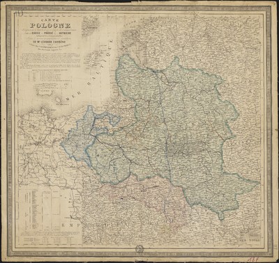
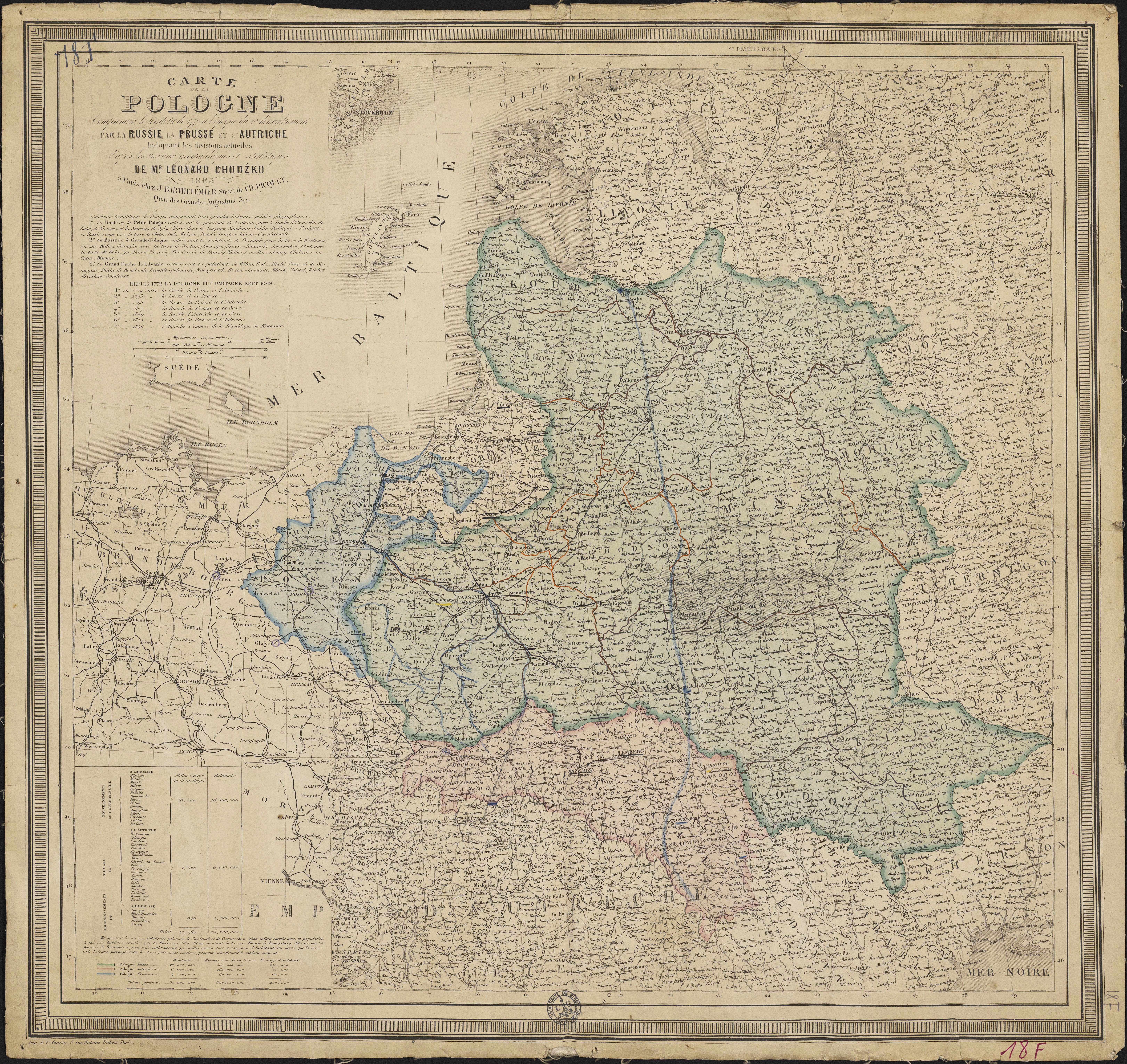
Carte de la Pologne comprenant le territoire de 1772 à l'époque du 1er démembrement par la Russie, la Prusse et l'Autriche indiquant les divisions actuelles d'après les travaux géographiques et statistiques de Mr Léonard Chodźko.
Author(s), creator(s), collaborator(s) :
Type of the represented object : Map
Permalink
https://hdl.handle.net/2268.1/2431
Détails
| Editor: | Chez J. Barthelemier |
| Place of creation of the original object: | Paris (France) |
| First publication of the original object: | 1863 19th century Contemporary time (1789-20..) |
| Original object location: | Réseau des Bibliothèques |
| Collection: | Maps |
| Identifiant(s): | 18F (cote ULiège) 701104193 (code-barres ULiège) |
| Original object language: | French |
| Abstract: | Echelle [1:3 333 750] Légende reprenant les couleurs utilisés pour représenter la population russe, autrichienne et prussienne |
| Material, support of the original object: | Papier |
| Dimensions, weight or duration: | 51 x 53 cm |
| Physical description of the represented object : | 1 carte : couleurs. |
| Geographical Location represent or evoke: | Pologne |
| Keyword: | Pologne -- Cartes |
| CREF classification(s): | Sciences de la terre et du cosmos Histoire |
| Classification(s): | Physical, chemical, mathematical & earth Sciences => Earth sciences & physical geography Arts & humanities => History |
| Part of: | Public domain |
| Permalink: | https://hdl.handle.net/2268.1/2431 |
Items in DONum are protected by copyright, with all rights reserved, unless otherwise indicated.