
Informations
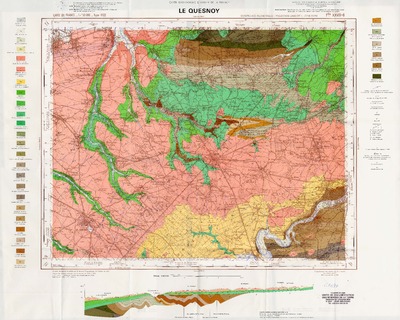
Carte géologique détaillée de la France. [29], Le Quesnoy
Author(s), creator(s), collaborator(s) : Waterlot, B.; Marlière, René
Type of the represented object : Map
Permalink
https://hdl.handle.net/2268.1/1264
Détails
| Author(s), creator(s), collaborator(s): | Waterlot, B. (author) Marlière, René (1905-1993) (author) |
| Editor: | Bureau de Recherches Géologiques et Minières |
| Place of creation of the original object: | Orléans |
| Creation of the original object: | 1971 20th century Contemporary time (1789-20..) |
| Original object location: | Réseau des Bibliothèques |
| Original object language: | French |
| Material, support of the original object: | papier |
| Dimensions, weight or duration: | 41 x 52 cm |
| Physical description of the represented object : | 1 carte : coul. |
| Description: | Echelle 1:50.000 |
| Geographical Location represent or evoke: | France |
| CREF classification(s): | Sciences de la terre et du cosmos |
| Classification(s): | Physical, chemical, mathematical & earth Sciences => Earth sciences & physical geography |
| Original object linked resource: | Cartes géologiques de la France au 1:50.000 |
| Part of: | Protected domain |
| Permalink: | https://hdl.handle.net/2268.1/1264 |

Items in DONum are protected by copyright, with all rights reserved, unless otherwise indicated.