
Informations
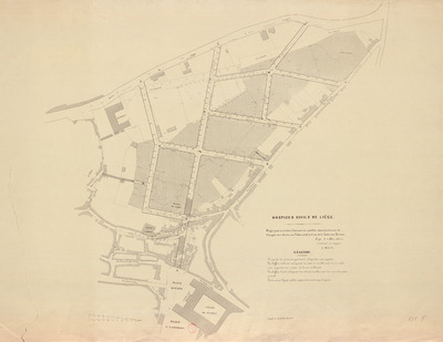
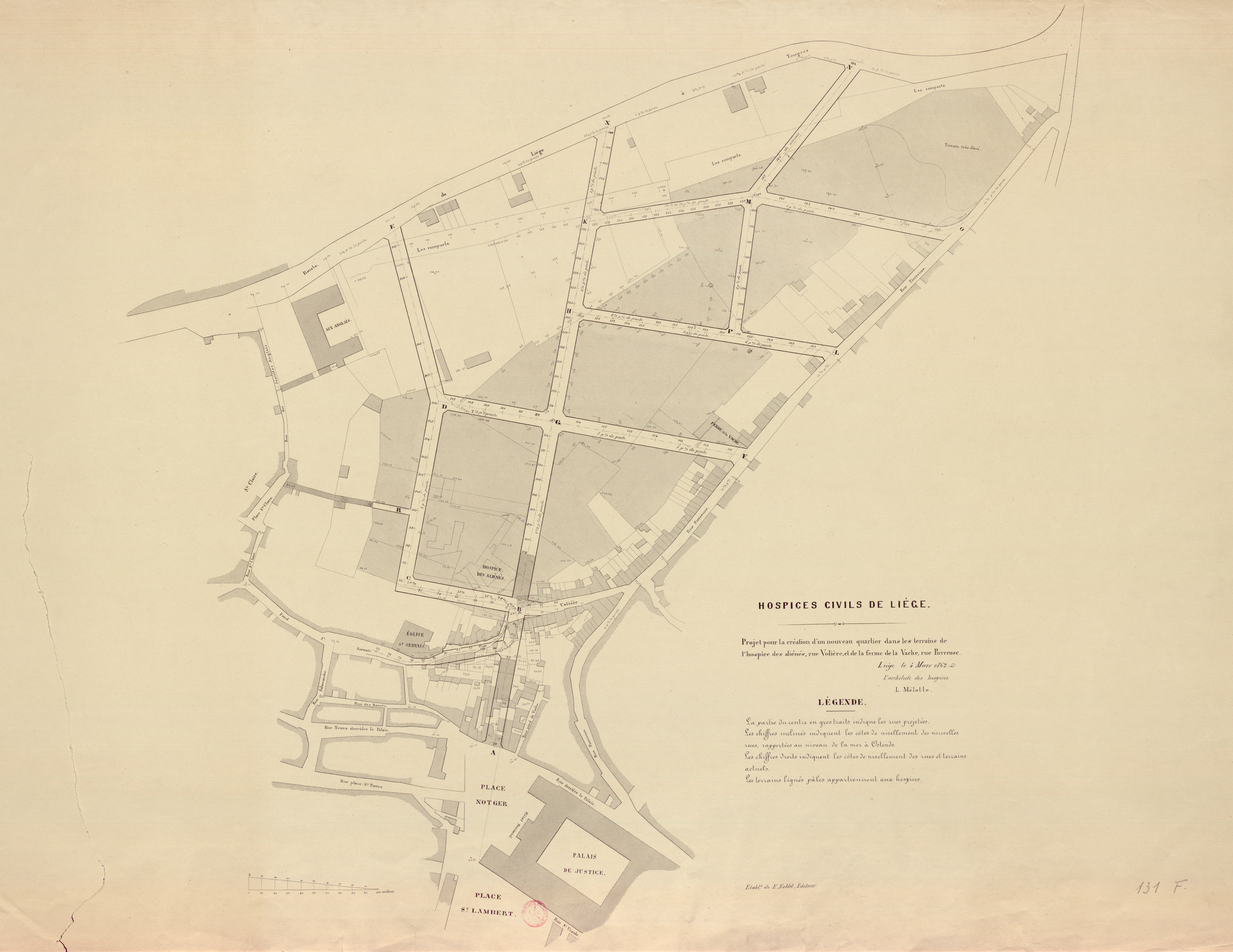
Hospices civils de Liège : projet pour la création d'un nouveau quartier dans les terrains de l'hospice des aliénés, rue Volière, et de la ferme de la Vache, rue Pierreuse.
Authors, creators, collaborators : Mélotte, L.
Type of the represented object : Plan (map)
Permalink
https://hdl.handle.net/2268.1/85
Détails
| Authors, creators, collaborators: | Mélotte, L. (authors) |
| Producers, publishers: | E. Noblet |
| Place of creation of the original object: | Liège (Belgique) |
| Creation of the original object: | 1862 19th century Contemporary time (1789-20..) |
| Original object location: | Réseau des Bibliothèques |
| Collection: | Maps |
| Identifiers: | 131F (cote ULiège) 1732395-10 (code-barres ULiège) |
| Réseau des Bibliothèques: | Identifier: 990017323950502321 |
| Original object language: | French |
| Material, support of the original object: | Papier |
| Dimensions, weight or duration: | 60 x 84 cm |
| Physical description of the represented object: | 1 carte. |
| Description: | Légende : la partie du centre en gros traits indique les rues projetées. Les chiffres inclinés indiquent les côtes de nivellement des nouvelles rues, rapportées au niveau de la mer à Ostende. Les chiffres droits indiquent les côtes de nivellement des rues et terrains actuels. Les terrains lignés pâles appartiennent aux hospices Echelle 1:100 |
| Geographical Location represent or evoke: | Liège (Belgique) |
| Keyword: | Liège (Belgique) -- Cartes; Assistance publique; Hospices -- Liège (Belgique); Hôpitaux -- Liège (Belgique) |
| Part of: | Public domain |
| Permalink: | https://hdl.handle.net/2268.1/85 |
Items in DONum are protected by copyright, with all rights reserved, unless otherwise indicated.
