
Informations
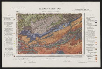
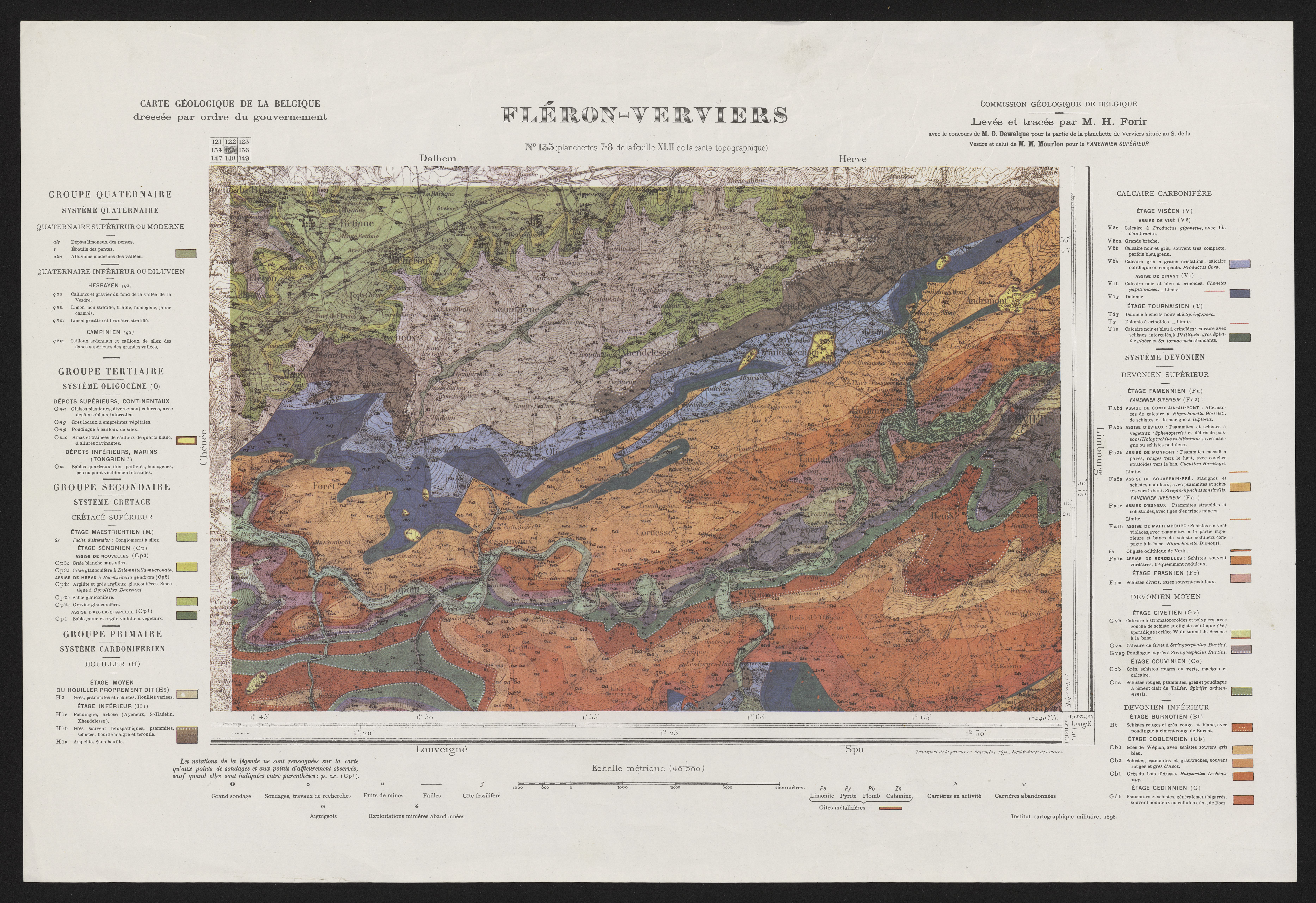
Carte géologique de la Belgique. 135, Fléron - Verviers.
Author(s), creator(s), collaborator(s) : Forir, Henri; Dewalque, Gustave; Mourlon, Michel
Type of the represented object : Map
Permalink
https://hdl.handle.net/2268.1/4735
Détails
| Author(s), creator(s), collaborator(s): | Forir, Henri (1856-1907) (author) Dewalque, Gustave (1826-1905) (author) Mourlon, Michel (1845-1915) (author) |
| Editor: | Institut cartographique militaire |
| Place of creation of the original object: | Bruxelles |
| First publication of the original object: | 1898 19th century Contemporary time (1789-20..) |
| Original object language: | French |
| Material, support of the original object: | papier |
| Dimensions, weight or duration: | 26 x 41 cm, sur feuille de 42 x 62 cm |
| Physical description of the represented object : | 1 carte : couleurs |
| Description: | Échelle 1:40 000 |
| Geographical Location represent or evoke: | Belgique |
| CREF classification(s): | Sciences de la terre et du cosmos |
| Classification(s): | Physical, chemical, mathematical & earth Sciences => Earth sciences & physical geography |
| Part of: | Public domain |
| Permalink: | https://hdl.handle.net/2268.1/4735 |
Items in DONum are protected by copyright, with all rights reserved, unless otherwise indicated.