
Informations
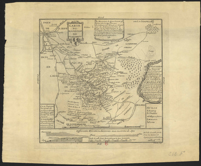
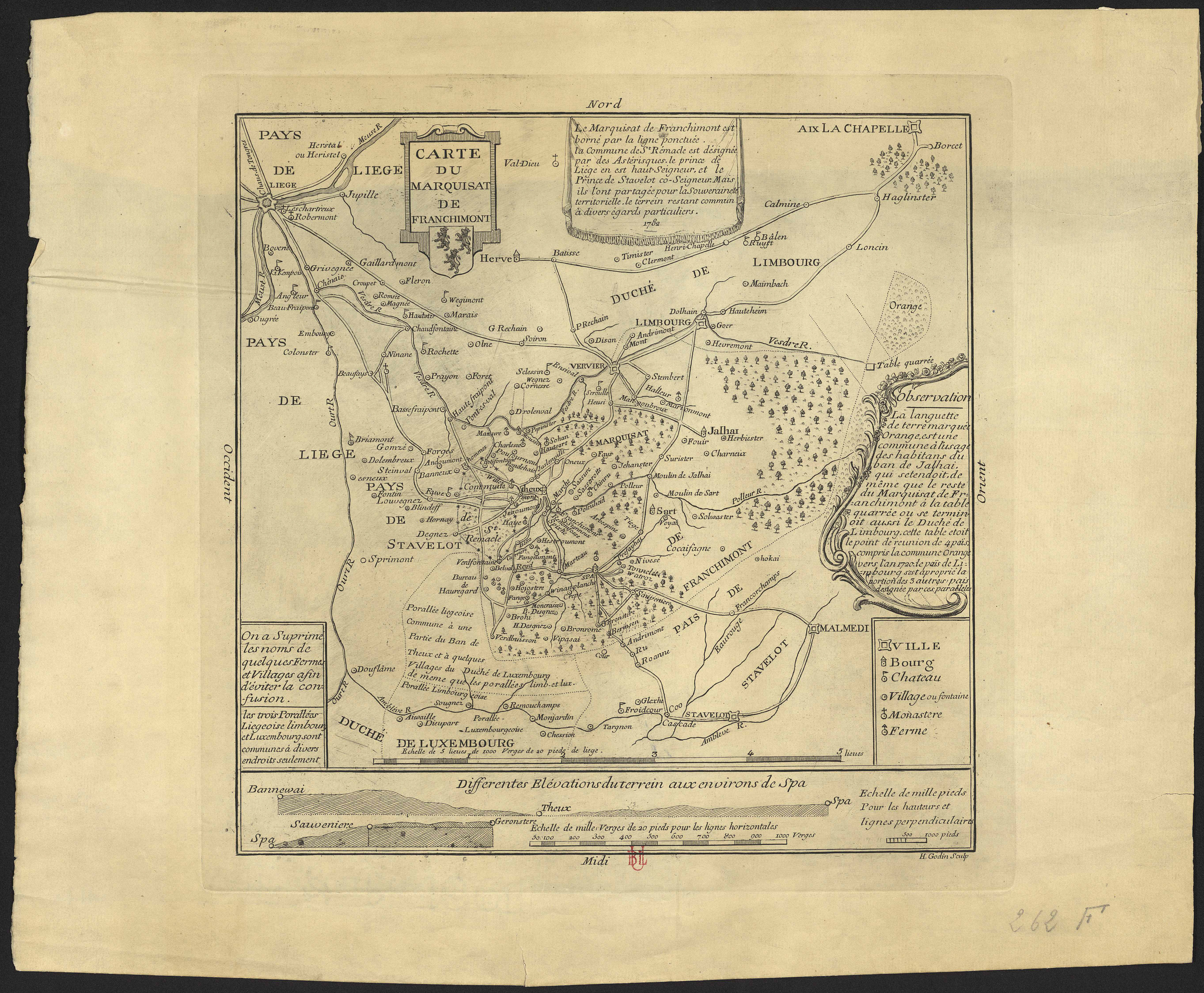
Carte du marquisat de Franchimont.
Authors, creators, collaborators : Godin, H.
Type of the represented object : Map
Permalink
https://hdl.handle.net/2268.1/3776
Détails
| Authors, creators, collaborators: | Godin, H. (authors) |
| Producers, publishers: | [S.l.] : [s.n.] |
| First publication of the original object: | 1782 18th century Modern times (1492-1789) |
| Original object location: | Réseau des Bibliothèques |
| Collection: | Maps |
| Réseau des Bibliothèques: | Identifier: 990000068890502321 Barcode/Inventory no.: 70954150 Call number: R207A1F |
| Original object language: | French |
| Abstract: | Echelle [1:108 000] |
| Material, support of the original object: | Papier |
| Dimensions, weight or duration: | 28 x 29 cm |
| Physical description of the represented object: | 1 carte |
| Description: | Légende reprenant les symboles utilisés pour représenter les villes, les bourgs, les châteaux, les villages, les monastères, les fermes |
| Geographical Location represent or evoke: | Franchimont, Marquisat de |
| Part of: | Public domain |
| Permalink: | https://hdl.handle.net/2268.1/3776 |
Items in DONum are protected by copyright, with all rights reserved, unless otherwise indicated.
