
Informations
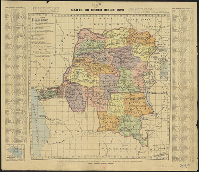
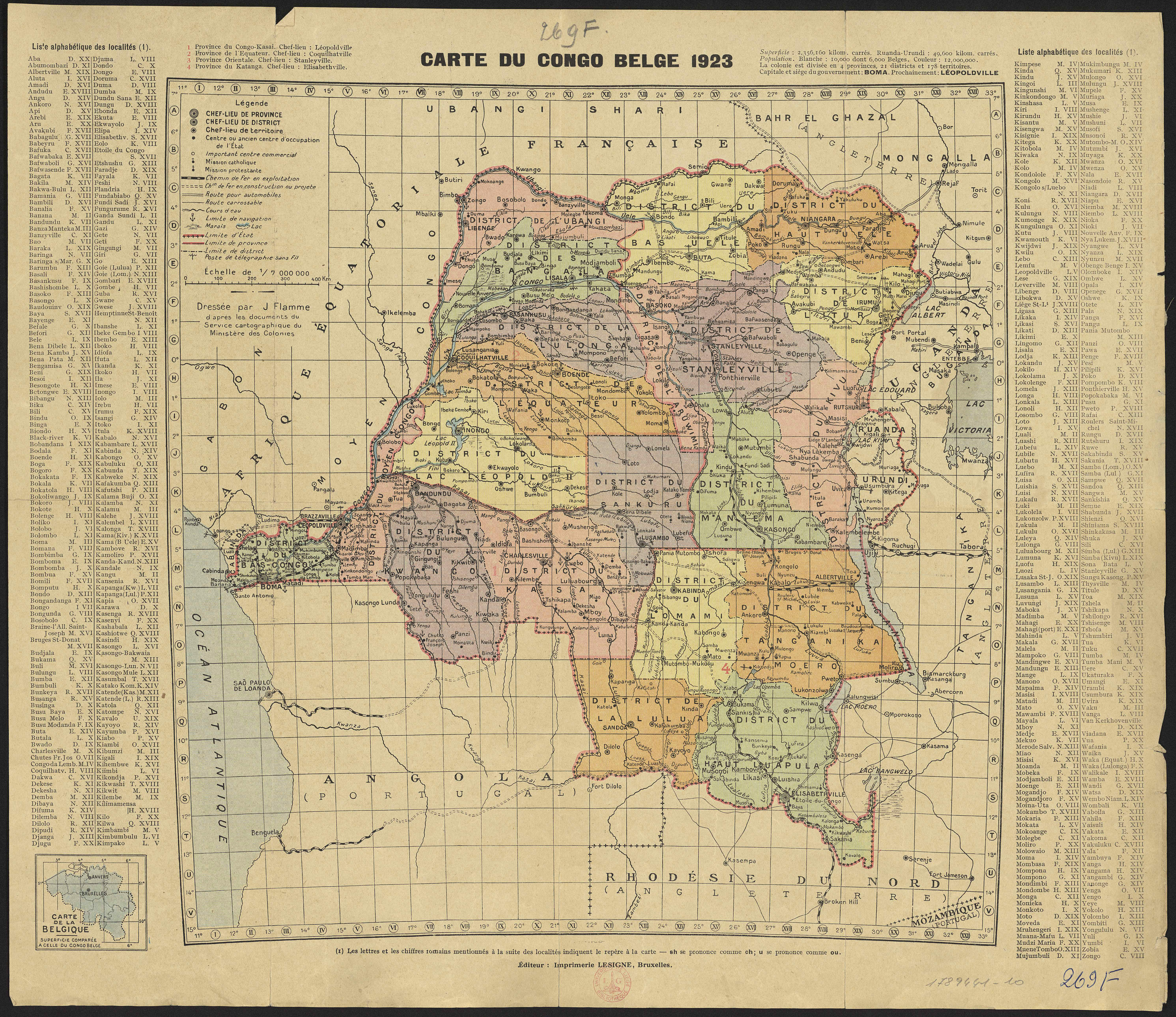
Carte du Congo belge 1923.
Authors, creators, collaborators : Flamme, J.
Type of the represented object : Map
Permalink
https://hdl.handle.net/2268.1/3773
Détails
| Authors, creators, collaborators: | Flamme, J. (authors) |
| Producers, publishers: | Bruxelles : Imprimerie Lesigne |
| Place of creation of the original object: | Bruxelles (Belgique) |
| First publication of the original object: | 1923 20th century Contemporary time (1789-20..) |
| Original object location: | Réseau des Bibliothèques |
| Identifiers: | 269F (cote ULiège) 1789441-10 (code-barres ULiège) |
| Réseau des Bibliothèques: | Identifier: 990017894410502321 |
| Original object language: | French |
| Abstract: | Echelle 1:7 000 000 |
| Material, support of the original object: | Papier |
| Dimensions, weight or duration: | 37 x 36 cm |
| Physical description of the represented object : | 1 carte : couleurs |
| Description: | Légende reprennant les symboles utilisés pour représenter les chefs-lieux, les missions religieuses, les chemins de fer, les routes, les cours d'eau, les marais, les limites territoriales, les postes télégraphiques
Dans les marges : Liste alphabétique des localités Division en districts Carte dressée d'après les documents du Service cartographique du Ministère des Colonies |
| Geographical Location represent or evoke: | Congo Belge (1908-1960) |
| CREF classifications: | Sciences de la terre et du cosmos |
| Classifications: | Physical, chemical, mathematical & earth Sciences => Earth sciences & physical geography |
| Part of: | Public domain |
| Permalink: | https://hdl.handle.net/2268.1/3773 |
Items in DONum are protected by copyright, with all rights reserved, unless otherwise indicated.
