
Informations
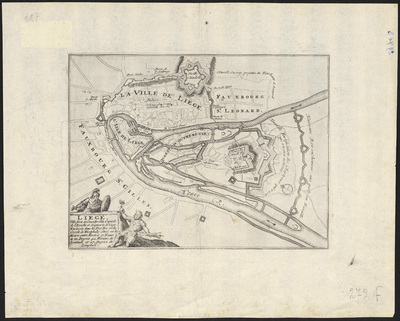
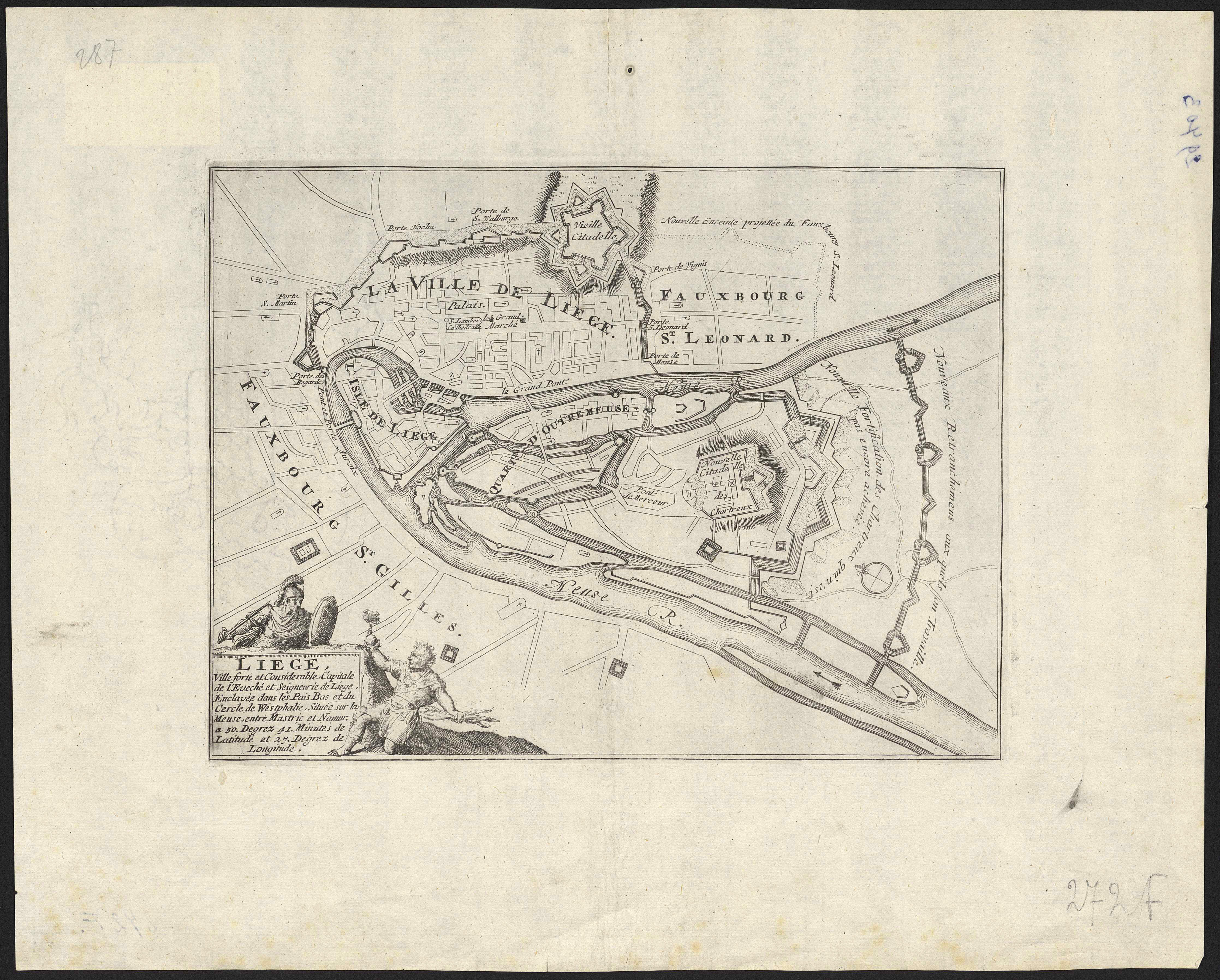
Liège, ville forte et considérable capitale de l'eveché et seigneurie de Liège, enclavée dans les Pais Bas et du cercle de Westphalie, située sur la Meuse, entre Mastric et Namur : à 50 degrez 41 minutes de latitude et 27 degrez de longitude.
Author(s), creator(s), collaborator(s) :
Type of the represented object : Map
Permalink
https://hdl.handle.net/2268.1/3772
Détails
| Editor: | S.l. : s.n. |
| First publication of the original object: | 18th century Modern times (1492-1789) |
| Original object location: | Réseau des Bibliothèques |
| Collection: | Maps |
| Identifiant(s): | 272F (cote ULiège) 709504145 (code-barres ULiège) |
| Original object language: | French |
| Abstract: | Echelle non mentionnée |
| Material, support of the original object: | Papier |
| Dimensions, weight or duration: | 19 x 25 cm |
| Physical description of the represented object : | 1 carte |
| Geographical Location represent or evoke: | Liège (Belgique) |
| CREF classification(s): | Sciences de la terre et du cosmos Sciences de l'ingénieur |
| Classification(s): | Physical, chemical, mathematical & earth Sciences => Earth sciences & physical geography Engineering, computing & technology => Architecture |
| Part of: | Public domain |
| Permalink: | https://hdl.handle.net/2268.1/3772 |
Items in DONum are protected by copyright, with all rights reserved, unless otherwise indicated.