
Informations
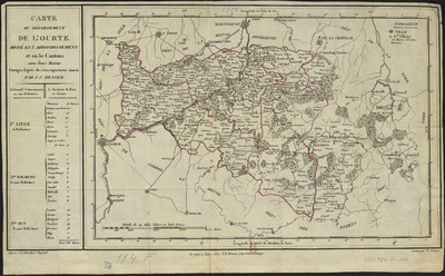
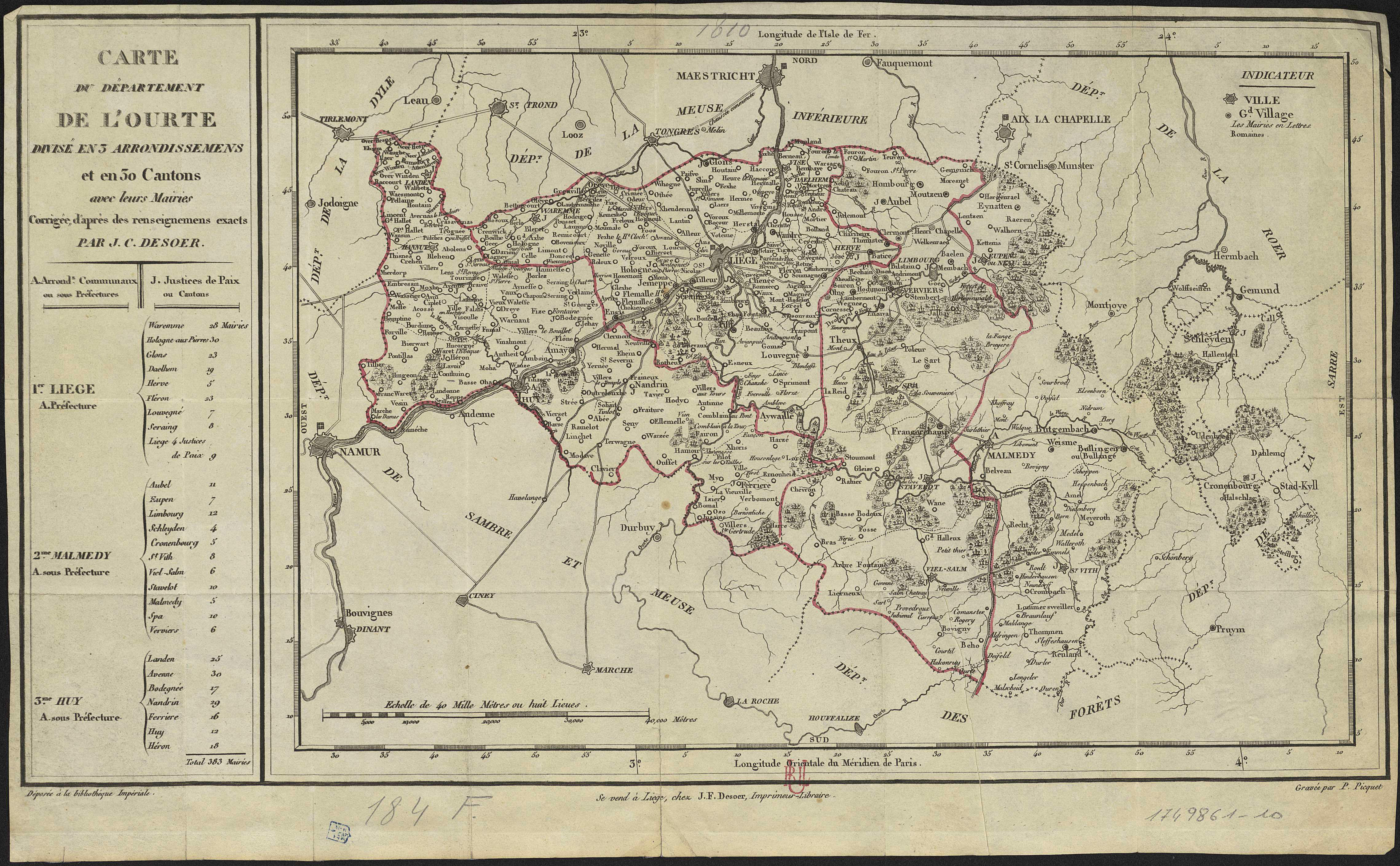
Carte du département de l'Ourte divisé en 3 arrondissemens et en 30 cantons, avec leurs mairies. Corrigée, d'après des renseignements exacts, par J. C. Desoer
Authors, creators, collaborators : Picquet, P.
Type of the represented object : Map
Permalink
https://hdl.handle.net/2268.1/3741
Détails
| Authors, creators, collaborators: | Picquet, P. (authors) |
| Producers, publishers: | Liège : J. F. Desoer |
| Place of creation of the original object: | Liège (Belgique) |
| First publication of the original object: | 19th century Contemporary time (1789-20..) |
| Original object location: | Réseau des Bibliothèques |
| Collection: | Maps |
| Réseau des Bibliothèques: | Identifier: 990017498610502321 Barcode/Inventory no.: 1749861-10 Call number: R115A3F |
| Original object language: | French |
| Abstract: | Echelle [1:340 000] |
| Material, support of the original object: | Papier |
| Dimensions, weight or duration: | 22 x 39 cm |
| Physical description of the represented object: | 1 carte |
| Description: | Légende reprenant les symboles utilisés pour représenter les villes et les grands villages Gravée par P. Picquet ; corrigée, d'après des renseignements exacts par J. C. Desoer. |
| Geographical Location represent or evoke: | Liège (Belgique, province) |
| Part of: | Public domain |
| Permalink: | https://hdl.handle.net/2268.1/3741 |
Items in DONum are protected by copyright, with all rights reserved, unless otherwise indicated.
