
Informations
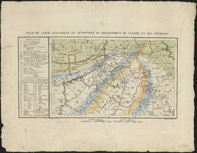
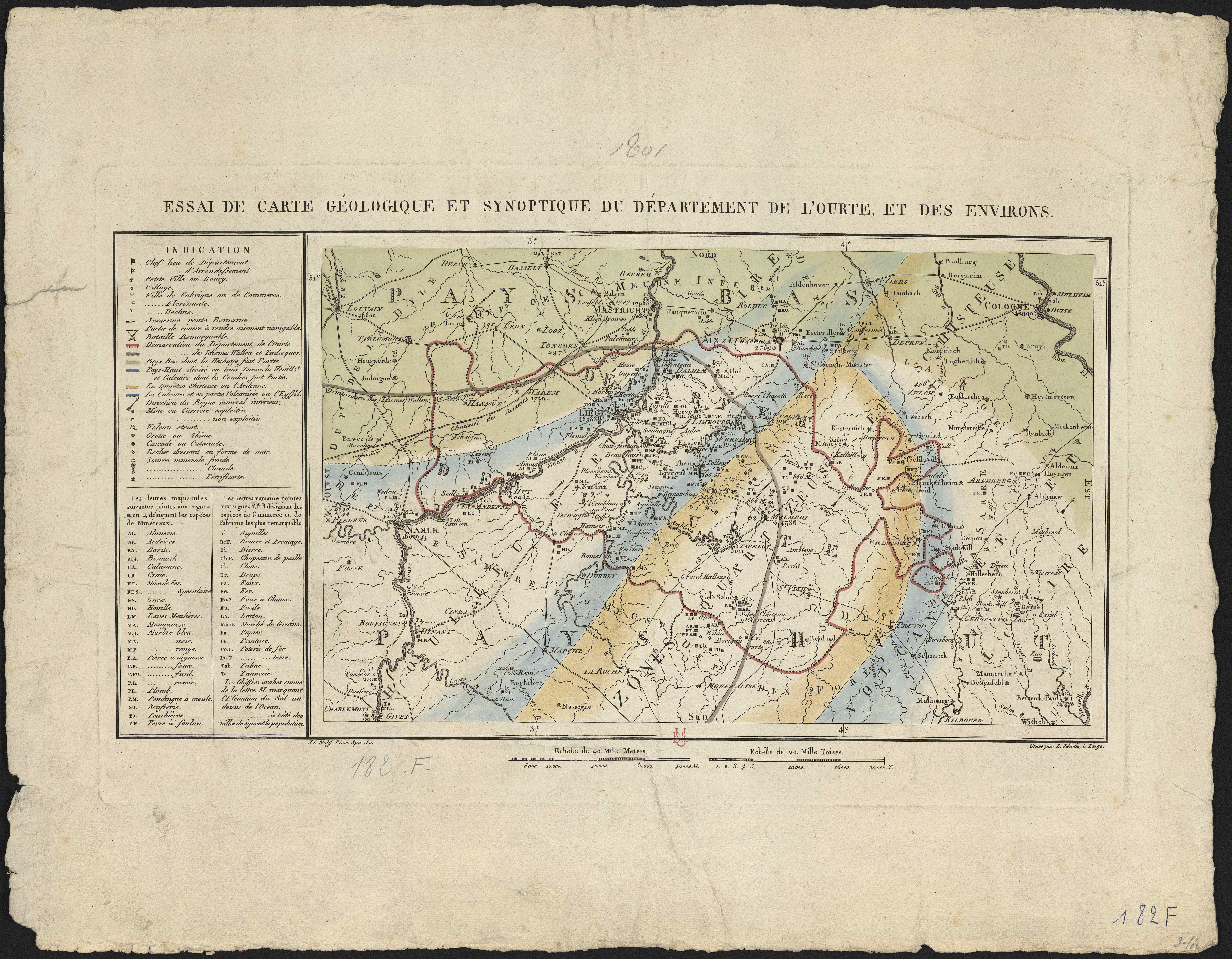
Essai de carte géologique et synoptique du département de l'Ourte et des environs
Authors, creators, collaborators : Wolff, J. L.; Jéhotte, Léonard
Type of the represented object : Map
Permalink
https://hdl.handle.net/2268.1/3739
Détails
| Authors, creators, collaborators: | Wolff, J. L. (17..-18..?) (authors) Jéhotte, Léonard (1772-1851) (engravers) |
| Producers, publishers: | Spa : [s.n.] |
| Place of creation of the original object: | Spa (Belgique) |
| First publication of the original object: | 1801 19th century Contemporary time (1789-20..) |
| Original object location: | Réseau des Bibliothèques |
| Collection: | Maps |
| Réseau des Bibliothèques: | Identifier: 990000071780502321 Barcode/Inventory no.: 709504341 Call number: R120A1F |
| Original object language: | French |
| Abstract: | Echelle [1:444 000] |
| Material, support of the original object: | Papier |
| Dimensions, weight or duration: | 26 x 50 cm |
| Physical description of the represented object: | 1 carte: couleurs. |
| Description: | Légende reprenant les symboles et couleurs utilisés pour représenter les chefs-lieux, les villes, les villages, les routes, les rivières, les champs de bataille, les territoires, les mines, les volcans éteints, les grottes, les cascades, les rochers, les sources. |
| Geographical Location represent or evoke: | Liège (Belgique, province) |
| Part of: | Public domain |
| Permalink: | https://hdl.handle.net/2268.1/3739 |
Items in DONum are protected by copyright, with all rights reserved, unless otherwise indicated.
