
Informations
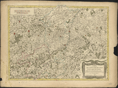
Carte de l'Evêché de Liège et le Comté de Namur dressée sur les nouvelles observations ordonnées par Leurs Majestés Impérial et Royal par J. B. De la Fosse.
Authors, creators, collaborators : Delafosse, Jean-Baptiste; Mondhare, Louis-Joseph [graveur, éditeur et marchand d'estampes]
Type of the represented object : Map
Permalink
https://hdl.handle.net/2268.1/3738
Détails
| Authors, creators, collaborators: | Delafosse, Jean-Baptiste (1721-1806) (authors) Mondhare, Louis-Joseph [graveur, éditeur et marchand d'estampes] (17..-18..) (editors) |
| Producers, publishers: | A Pari : Chez Mondhare |
| Place of creation of the original object: | Paris (France) |
| First publication of the original object: | 1792 18th century Contemporary time (1789-20..) |
| Original object location: | Réseau des Bibliothèques |
| Collection: | Maps |
| Réseau des Bibliothèques: | Identifier: 990000069280502321 Barcode/Inventory no.: 709504340 Call number: R121A1F |
| Original object language: | French |
| Abstract: | Echelle [1:271 000] |
| Material, support of the original object: | Papier |
| Dimensions, weight or duration: | 48 x 66 cm |
| Physical description of the represented object: | 1 carte : couleurs |
| Geographical Location represent or evoke: | Liège (Principauté) Namur (Comté) |
| Part of: | Public domain |
| Permalink: | https://hdl.handle.net/2268.1/3738 |

Items in DONum are protected by copyright, with all rights reserved, unless otherwise indicated.
