
Informations
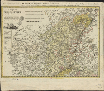
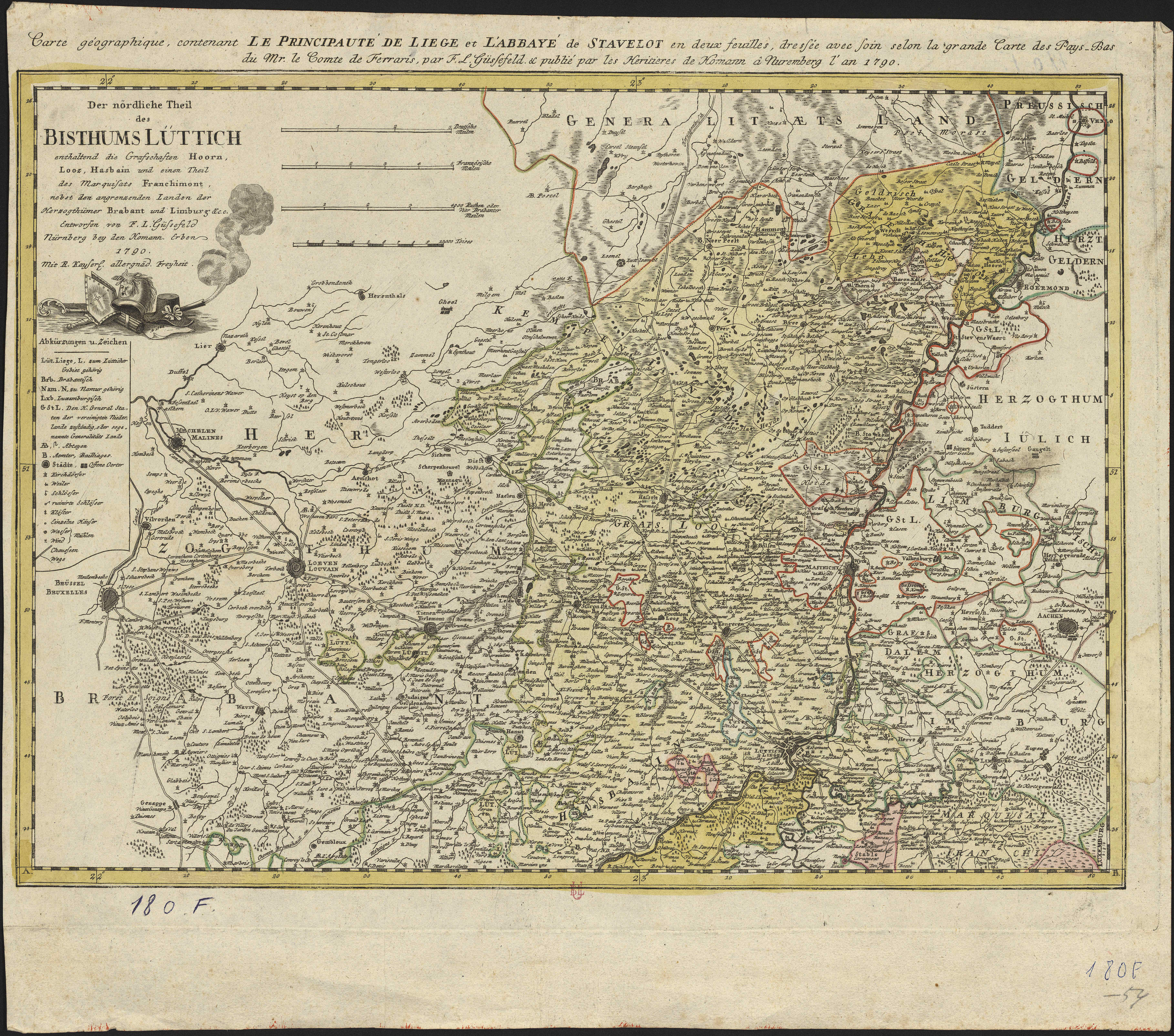
Carte géographique contenant le Principauté de Liège et l'Abbaye de Stavelot en deux feuilles, dressée avec soin selon la grande carte des Pays-Bas de M. le Comte de Ferraris, par F. L. Güssefeld
Authors, creators, collaborators : Güsselfeld, Franz L.
Type of the represented object : Map
Permalink
https://hdl.handle.net/2268.1/3737
Détails
| Authors, creators, collaborators: | Güsselfeld, Franz L. (1744-1807) (authors) |
| Producers, publishers: | Nuremberg : Héritiers de Homann |
| Place of creation of the original object: | Nuremberg (Allemagne) |
| First publication of the original object: | 1790 18th century Contemporary time (1789-20..) |
| Original object location: | Réseau des Bibliothèques |
| Collection: | Maps |
| Réseau des Bibliothèques: | Identifier: 990000070970502321 Barcode/Inventory no.: 709504339 Call number: R149A1F |
| Original object language: | French |
| Abstract: | Echelle [1:240 000] |
| Material, support of the original object: | Papier |
| Dimensions, weight or duration: | 43 x 59 cm |
| Physical description of the represented object: | 1 carte : couleurs |
| Geographical Location represent or evoke: | Liège (Principauté) Stavelot (Belgique) |
| Part of: | Public domain |
| Permalink: | https://hdl.handle.net/2268.1/3737 |
Items in DONum are protected by copyright, with all rights reserved, unless otherwise indicated.
