
Informations
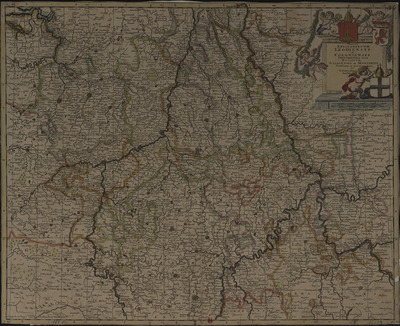
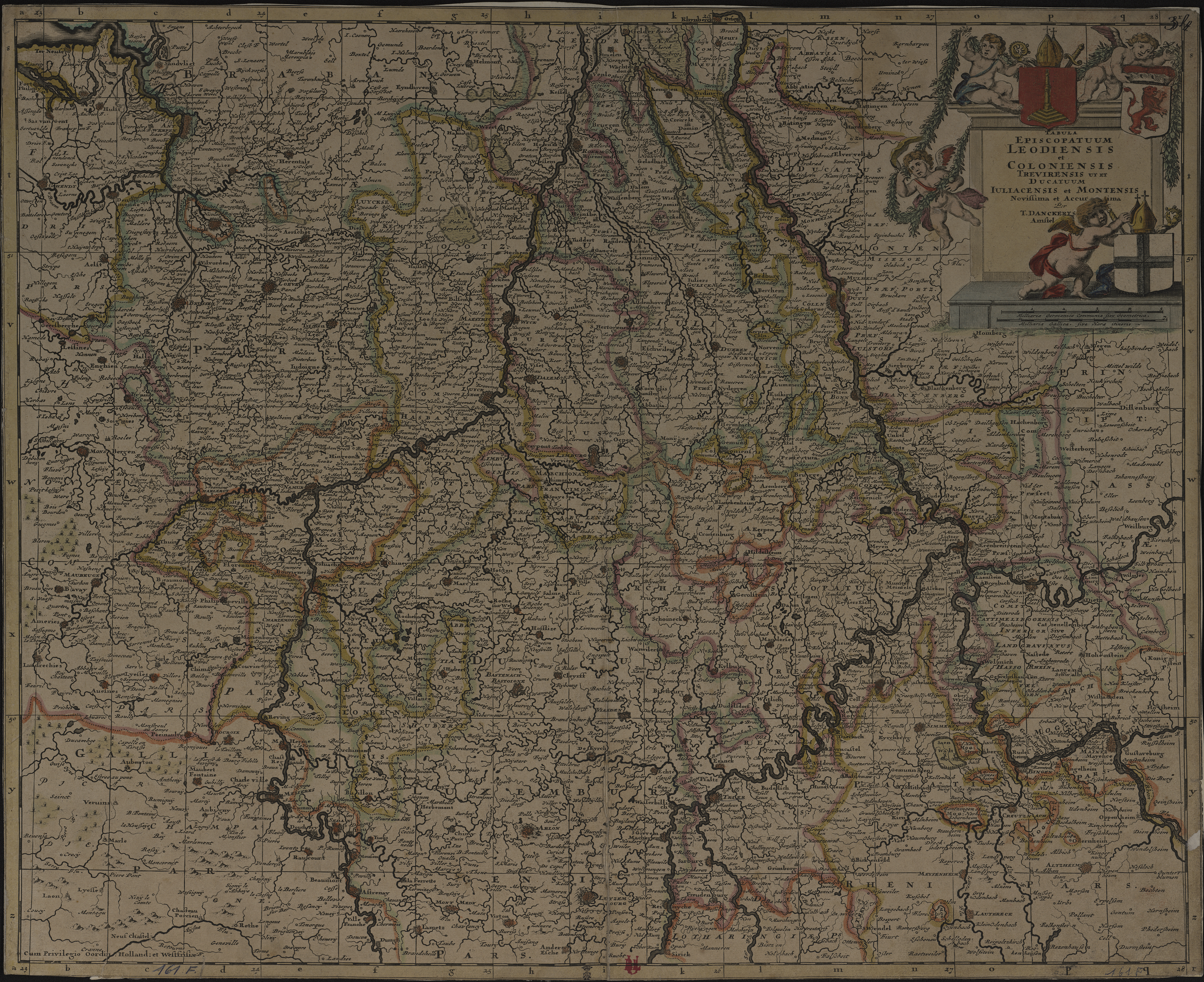
Tabula episcopatuum Leodiensis et Coloniensis Trevirensis ut et Ducatuum Jullacensis et Montensis novissima et accurima. Per T. Danckerts Amstel.
Authors, creators, collaborators : Danckerts, Theodorus
Type of the represented object : Map
Permalink
https://hdl.handle.net/2268.1/3710
Détails
| Authors, creators, collaborators: | Danckerts, Theodorus (1663-1727) (authors) |
| Producers, publishers: | [Lieu d'impression non identifié] : [imprimeur non identifié] |
| First publication of the original object: | [1690?] 17th century Modern times (1492-1789) |
| Original object location: | Réseau des Bibliothèques |
| Collection: | Maps |
| Réseau des Bibliothèques: | Identifier: 990017237580502321 Barcode/Inventory no.: 709504353 Call number: R107A1F |
| Original object language: | Latin |
| Material, support of the original object: | Papier |
| Dimensions, weight or duration: | 50 x 58 cm |
| Physical description of the represented object: | 1 carte : couleurs. |
| Description: | Titre dans un cartouche orné
Echelle donnée en deux anciennes mesures Echelle [environ 1:461 000] |
| Geographical Location represent or evoke: | Liège (Belgique) Cologne (Allemagne) Juliers (Allemagne ; duché) |
| Keyword: | Liège (Principauté); Cartes anciennes.; Liège (Ecclesiastical principality); Early maps. |
| Part of: | Public domain |
| Permalink: | https://hdl.handle.net/2268.1/3710 |
Items in DONum are protected by copyright, with all rights reserved, unless otherwise indicated.
