
Informations
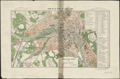
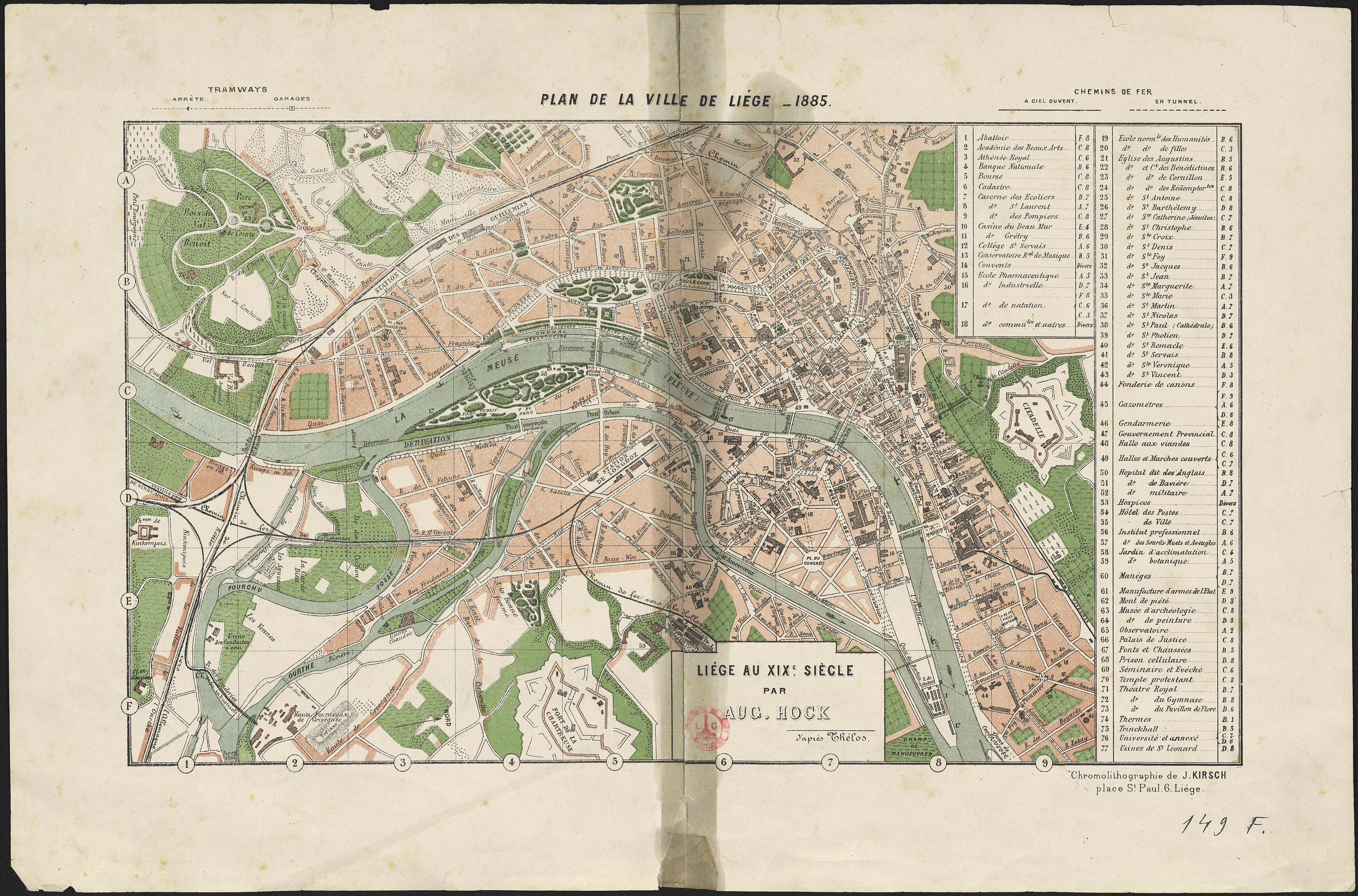
Plan de la ville de Liège : 1885.
Authors, creators, collaborators : L'Hoest, Isidore
Type of the represented object : Plan (map)
Permalink
https://hdl.handle.net/2268.1/3702
Détails
| Authors, creators, collaborators: | L'Hoest, Isidore (authors) |
| Producers, publishers: | Liège : J. Kirsch |
| Place of creation of the original object: | Liège (Belgique) |
| First publication of the original object: | 1886? 19th century Contemporary time (1789-20..) |
| Original object location: | Réseau des Bibliothèques |
| Collection: | Maps |
| Identifiers: | 149F (cote ULiège) 709504355 (code-barres ULiège) |
| Réseau des Bibliothèques: | Identifier: 990000073580502321 |
| Original object language: | French |
| Abstract: | Echelle non mentionnée |
| Material, support of the original object: | Papier |
| Dimensions, weight or duration: | 22 x 39 cm |
| Physical description of the represented object: | 1 carte : couleurs. |
| Description: | Légende reprenant les numéros utilisés pour situer les différents édifices de Liège ainsi que les symboles utilisés pour représenter les voies de chemins de fer et de tramways |
| Geographical Location represent or evoke: | Liège (Belgique) |
| Original object is part of: | Liège au 19e siècle : les transformations" / Auguste Hock. - Liège : Vaillant-Carmanne, 1886. |
| Part of: | Public domain |
| Permalink: | https://hdl.handle.net/2268.1/3702 |
Items in DONum are protected by copyright, with all rights reserved, unless otherwise indicated.
