
Informations
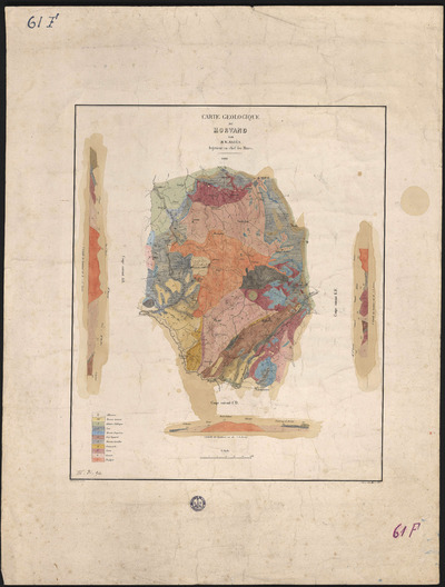
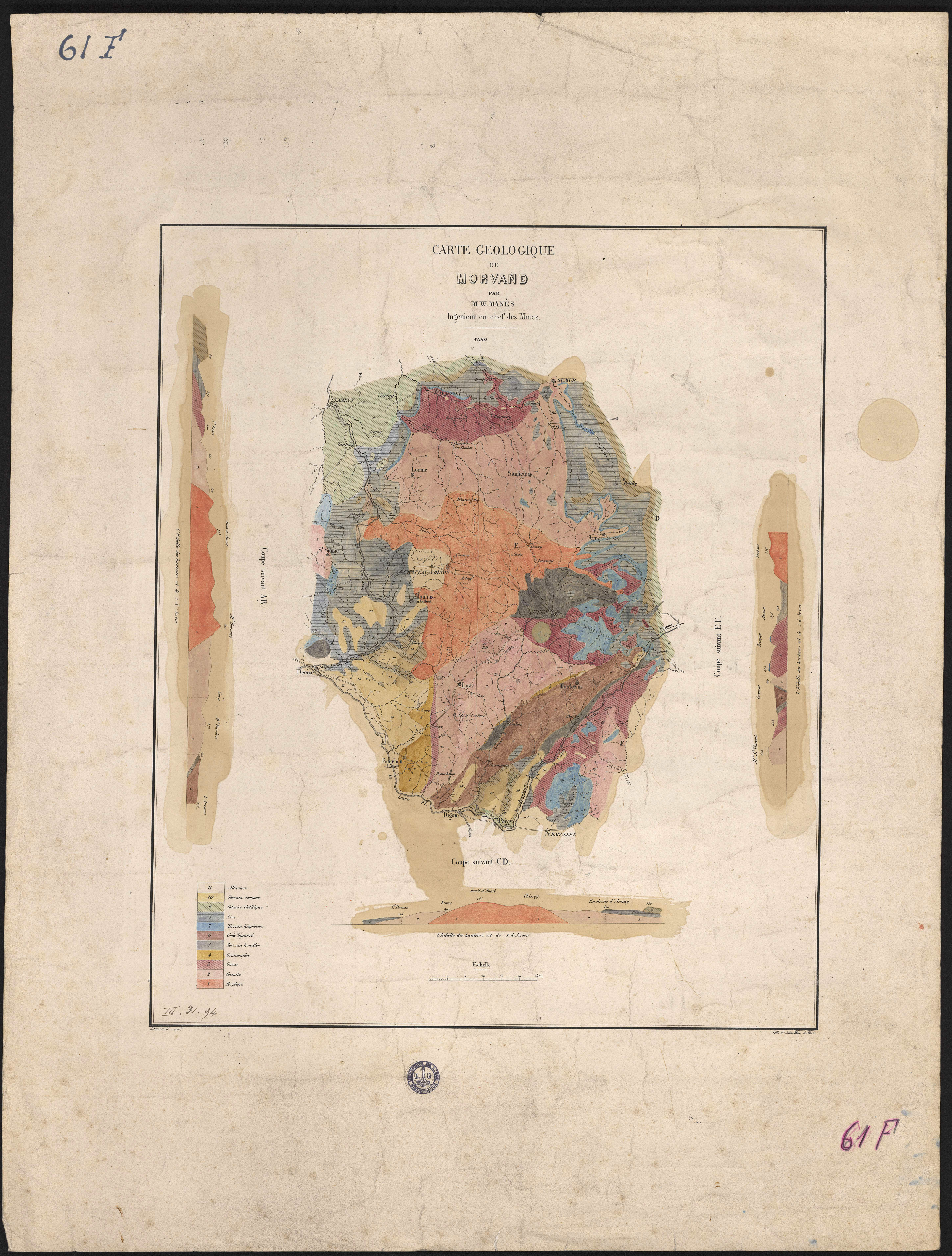
Carte géologique du Morvand.
Authors, creators, collaborators : Manès, Guillaume
Type of the represented object : Map
Permalink
https://hdl.handle.net/2268.1/2696
Détails
| Authors, creators, collaborators: | Manès, Guillaume (1798-1881) (authors) |
| Producers, publishers: | Paris : Lith. de Jules Rigo |
| Place of creation of the original object: | Paris (France) |
| First publication of the original object: | 19th century Contemporary time (1789-20..) |
| Original object location: | Réseau des Bibliothèques |
| Collection: | Maps |
| Réseau des Bibliothèques: | Identifier: 990016859450502321 Barcode/Inventory no.: 701100714 Call number: 000061F |
| Original object language: | French |
| Abstract: | Comprend trois coupes géologiques
Légende reprenant les couleurs utilisées pour représenter les sols |
| Material, support of the original object: | Papier |
| Dimensions, weight or duration: | 42 x 35 cm |
| Physical description of the represented object: | 1 carte : couleurs. |
| Description: | Échelle 1:50 000 |
| Geographical Location represent or evoke: | Morvan (France) |
| Keyword: | Géologie -- Morvan (France) -- Cartes |
| Part of: | Public domain |
| Permalink: | https://hdl.handle.net/2268.1/2696 |
Items in DONum are protected by copyright, with all rights reserved, unless otherwise indicated.
