
Informations
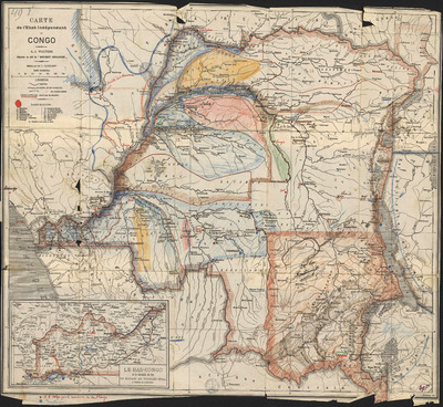
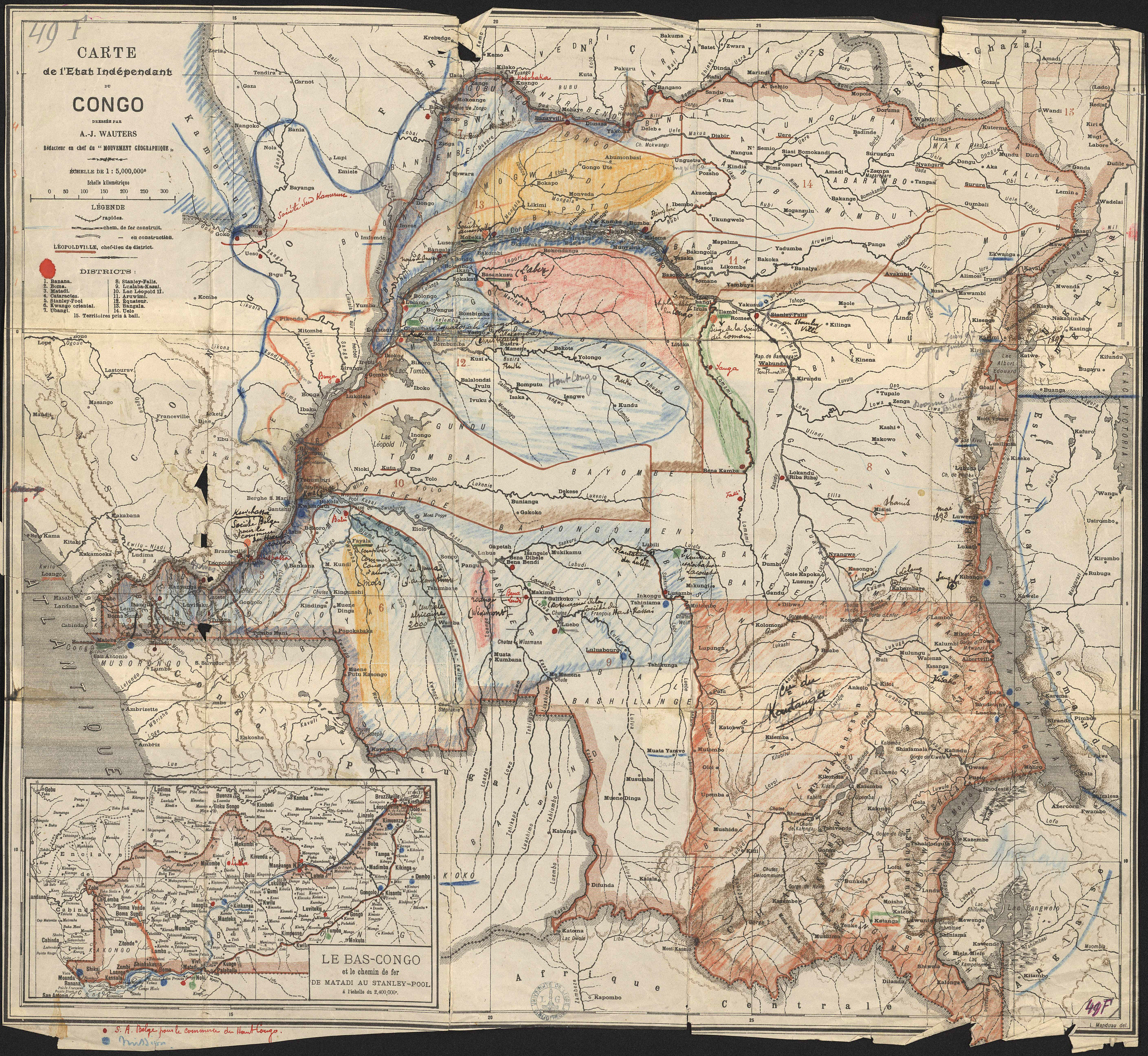
Carte de l’État Indépendant du Congo.
Author(s), creator(s), collaborator(s) : Wauters, A.-J.; Manduau, L.
Type of the represented object : Map
Permalink
https://hdl.handle.net/2268.1/2669
Détails
| Author(s), creator(s), collaborator(s): | Wauters, A.-J. (Alphonse-Jules) (1845-1916) (author) Manduau, L. (author) |
| First publication of the original object: | 20th century Contemporary time (1789-20..) |
| Original object location: | Réseau des Bibliothèques |
| Identifiant(s): | 49F (cote ULiège) ; 709504126 (code-barres ULiège) |
| Original object language: | French |
| Abstract: | Echelle 1:5 000 000 |
| Material, support of the original object: | Papier |
| Dimensions, weight or duration: | 44 x 48 cm |
| Physical description of the represented object : | 1 carte : couleurs. |
| Description: | Légende reprenant les symboles utilisés pour représenter les voies rapides, les chemins de fer construit et ceux en construction.
Encart : Le Bas-Congo et le chemin de fer de Matadi au Stanley-Pool à l'échelle du 2 400 000e |
| Geographical Location represent or evoke: | Congo, État indépendant du (Belgique ; 1885-1908) |
| Keyword: | Congo; Congo, État indépendant du (Belgique ; 1885-1908) -- Cartes |
| CREF classification(s): | Sciences de la terre et du cosmos |
| Classification(s): | Physical, chemical, mathematical & earth Sciences => Earth sciences & physical geography |
| Part of: | Public domain |
| Permalink: | https://hdl.handle.net/2268.1/2669 |
Items in DONum are protected by copyright, with all rights reserved, unless otherwise indicated.