
Informations
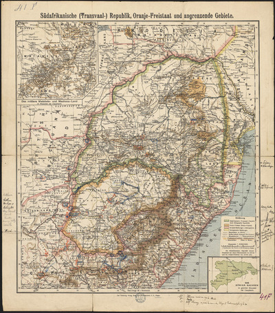
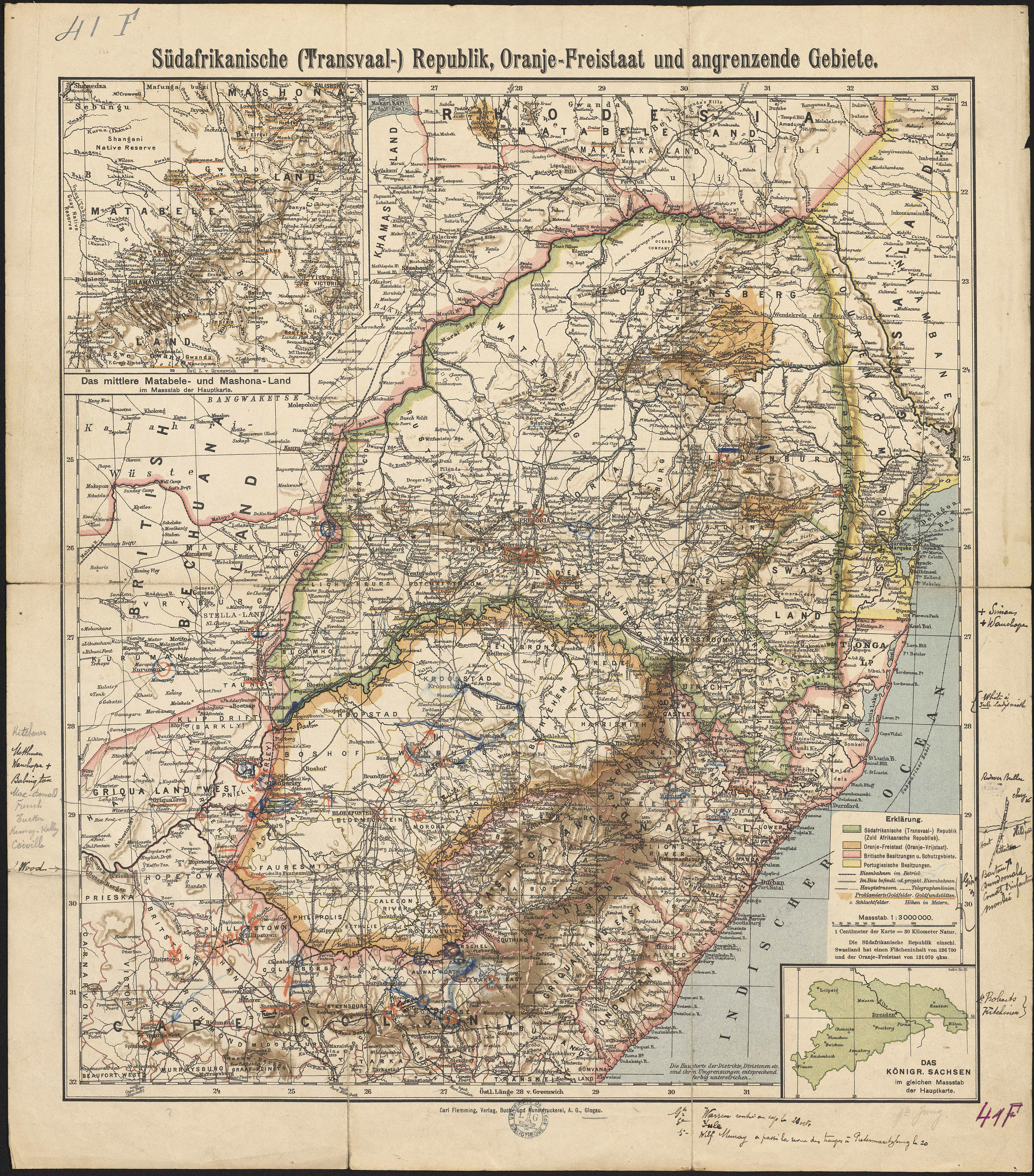
Südafrikanische (Transvaal) Republik, Oranje-Freistaat und angrenzende Gebiete.
Author(s), creator(s), collaborator(s) :
Type of the represented object : Map
Permalink
https://hdl.handle.net/2268.1/2665
Détails
| Editor: | Glogau : Carl Flemming |
| Place of creation of the original object: | Głogów (Basse-Silésie, Pologne) |
| First publication of the original object: | 1900? 19th century Contemporary time (1789-20..) |
| Original object location: | Réseau des Bibliothèques |
| Collection: | Maps |
| Identifiant(s): | 41F (cote ULiège) ; 701100747 (code-barres ULiège) |
| Original object language: | German |
| Abstract: | Echelle 1:3 000 000 |
| Material, support of the original object: | Papier |
| Dimensions, weight or duration: | 43 x 38 cm |
| Physical description of the represented object : | 1 carte : couleurs. |
| Description: | Légende reprenant les symboles utilisés pour représenter les territoires de l'Afrique du Sud, de l'Etat libre d'Orange, des possessions britanniques et portugaises ainsi que les routes principales, les voies de chemin de fer, les lignes télégraphiques, les mines d'or, les champs de bataille |
| Geographical Location represent or evoke: | Afrique du Sud |
| Keyword: | Afrique du Sud -- Cartes |
| CREF classification(s): | Sciences de la terre et du cosmos |
| Classification(s): | Physical, chemical, mathematical & earth Sciences => Earth sciences & physical geography |
| Part of: | Public domain |
| Permalink: | https://hdl.handle.net/2268.1/2665 |
Items in DONum are protected by copyright, with all rights reserved, unless otherwise indicated.