
Informations
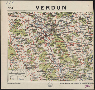
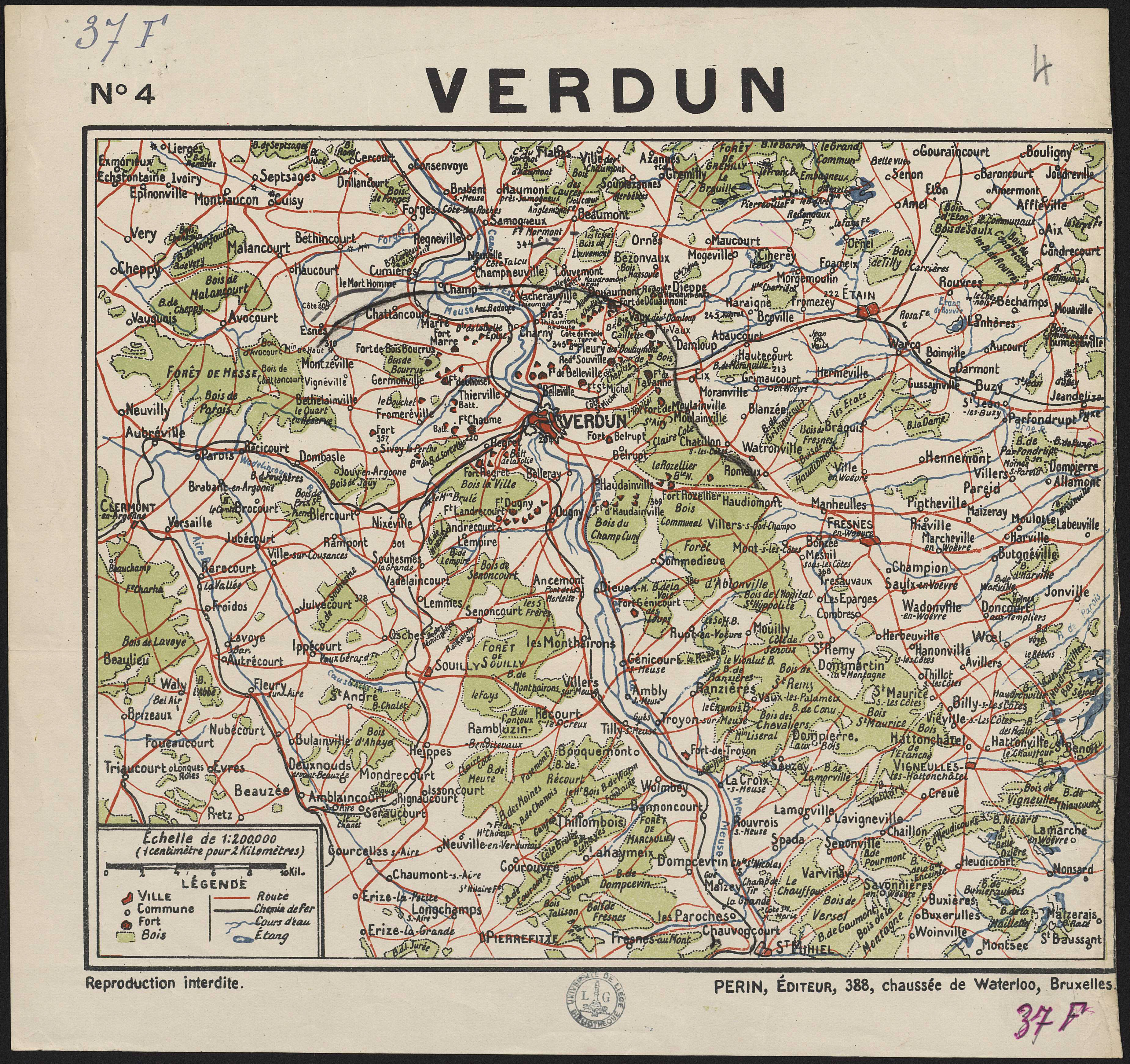
Verdun.
Authors, creators, collaborators :
Type of the represented object : Map
Permalink
https://hdl.handle.net/2268.1/2661
Détails
| Producers, publishers: | Bruxelles : Perin |
| Place of creation of the original object: | Bruxelles (Belgique) |
| First publication of the original object: | 20th century Contemporary time (1789-20..) |
| Original object location: | Réseau des Bibliothèques |
| Réseau des Bibliothèques: | Identifier: 990017116900502321 Barcode/Inventory no.: 701102783 Call number: 000037F |
| Original object language: | French |
| Abstract: | Echelle 1:200 000 |
| Material, support of the original object: | Papier |
| Dimensions, weight or duration: | 24 x 29 cm |
| Physical description of the represented object: | 1 carte : couleurs. |
| Description: | Légende reprenant les symboles utilisés pour représenter les villes, les communes, les forts, les bois, les routes, les chemins de fer, les cours d'eau et les étangs |
| Geographical Location represent or evoke: | Verdun (Meuse, France) |
| Keyword: | Verdun (Meuse, France) -- Cartes |
| Part of: | Public domain |
| Permalink: | https://hdl.handle.net/2268.1/2661 |
Items in DONum are protected by copyright, with all rights reserved, unless otherwise indicated.
