
Informations
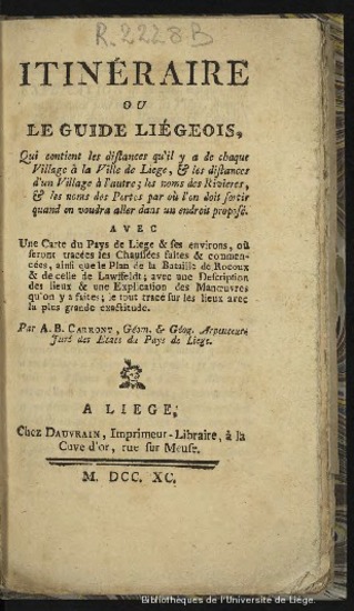
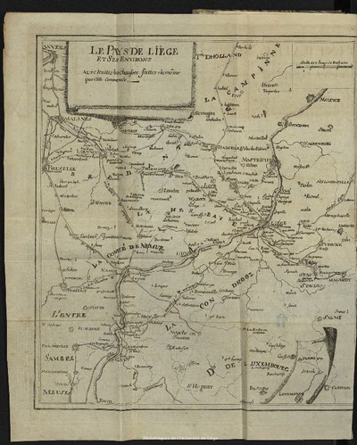
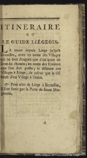
Itinéraire ou le guide liégeois qui contient les distances qu'il y a de chaque village à la ville de Liège et les distances d'un village à l'autre, les noms des rivières et les noms des portes par où l'on doit sortir quand on voudra aller dans un endroit proposé. Avec une carte du pays de Liège et ses environs....
Authors, creators, collaborators : Carront, A. B.
Type of the represented object : Book
Permalink
https://hdl.handle.net/2268.1/1540
Détails
| Authors, creators, collaborators: | Carront, A. B. (authors) |
| Producers, publishers: | Imp. Dauvrain |
| Place of creation of the original object: | Liège (Belgique) |
| First publication of the original object: | 1790 18th century Contemporary time (1789-20..) |
| Original object location: | Réseau des Bibliothèques |
| Réseau des Bibliothèques: | Identifier: 990008221670502321 Barcode/Inventory no.: 709604848 Call number: R02228B |
| Original object language: | French |
| Material, support of the original object: | Papier |
| Dimensions, weight or duration: | 12 x 19 cm |
| Physical description of the represented object: | [8]-96 pages ; 1 carte, 2 plans dépliants |
| Description: | Ex-libris Pierre Baar |
| Geographical Location represent or evoke: | Liège (Belgique) |
| Period or event mentioned: | Bataille de Rocoux Bataille de Lawffeldt |
| Keyword: | Géographie régionale -- Liège; Noms géographiques -- Liège; Liège (Pays de) |
| Original object is referenced by: | De Theux 744 |
| Part of: | Public domain |
| Permalink: | https://hdl.handle.net/2268.1/1540 |

Items in DONum are protected by copyright, with all rights reserved, unless otherwise indicated.
