
Informations
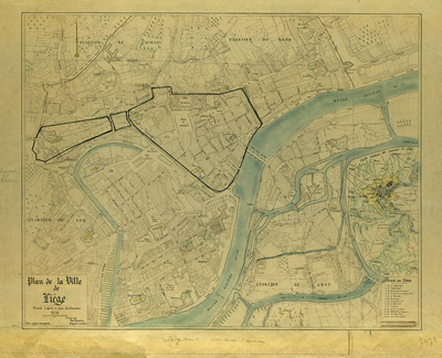
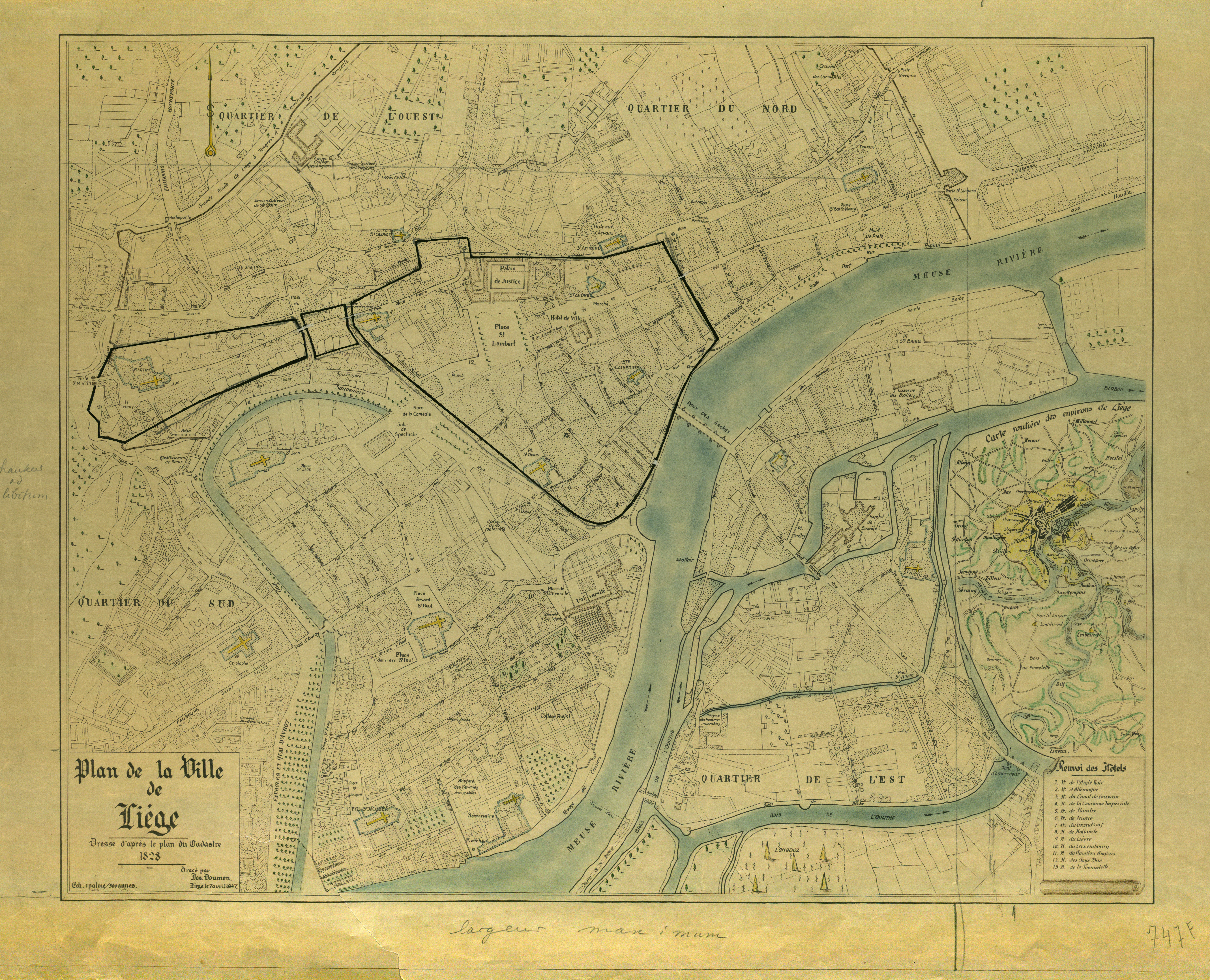
Plan de la ville de Liège dressé d'après le plan du cadastre de 1828.
Authors, creators, collaborators : Doumen, Jos
Type of the represented object : Plan (map)
Permalink
https://hdl.handle.net/2268.1/1502
Détails
| Authors, creators, collaborators: | Doumen, Jos (cartographers) |
| Place of creation of the original object: | Liège (Belgique) |
| Creation of the original object: | 1947 20th century Contemporary time (1789-20..) |
| Original object location: | Réseau des Bibliothèques |
| Identifiers: | 000747F (cote ULiège) 709504415 (code-barres ULiège) |
| Réseau des Bibliothèques: | Identifier: 990000073750502321 |
| Original object language: | French |
| Abstract: | Cours de la Meuse en couleurs. Liste des hôtels |
| Dimensions, weight or duration: | 54 x 67 cm |
| Physical description of the represented object: | 1 plan: noir & blanc |
| Description: | Echelle de 1 palme pour 300 aunes. |
| Geographical Location represent or evoke: | Liège (Belgique) |
| Keyword: | Liège (Belgique) -- Plans |
| Part of: | Protected domain |
| Permalink: | https://hdl.handle.net/2268.1/1502 |
Items in DONum are protected by copyright, with all rights reserved, unless otherwise indicated.
