
Informations
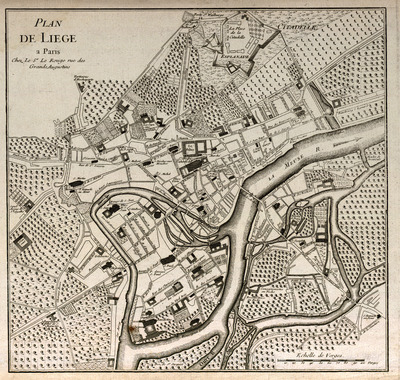
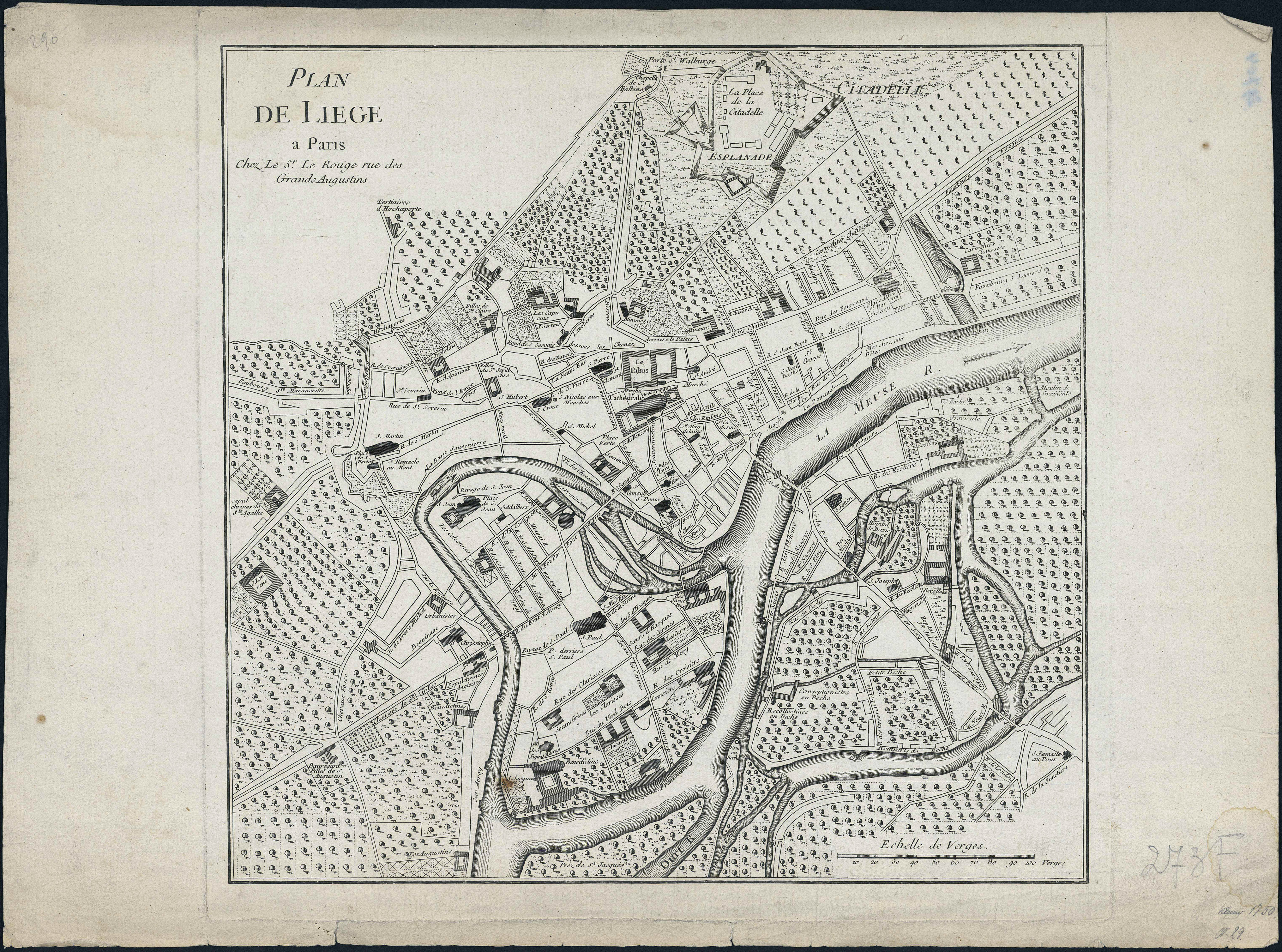
Plan de Liège.
Authors, creators, collaborators : Le Rouge, Georges-Louis
Type of the represented object : Plan (map)
Permalink
https://hdl.handle.net/2268.1/1499
Détails
| Authors, creators, collaborators: | Le Rouge, Georges-Louis (1712-179.) (editors) |
| Producers, publishers: | Chez le Sr. Le Rouge |
| Place of creation of the original object: | Paris (France) |
| First publication of the original object: | 18th century Modern times (1492-1789) |
| Original object location: | Réseau des Bibliothèques |
| Collection: | Maps |
| Identifiers: | 273F (cote ULiège) 709504344 (code-barres ULiège) |
| Réseau des Bibliothèques: | Identifier: 990000072580502321 |
| Original object language: | French |
| Dimensions, weight or duration: | 34 x 35 cm |
| Physical description of the represented object: | 1 carte |
| Description: | Echelle [1: 1 100] |
| Geographical Location represent or evoke: | Liège (Belgique) |
| Keyword: | Liège (Belgique) -- Plans |
| Part of: | Public domain |
| Permalink: | https://hdl.handle.net/2268.1/1499 |
Items in DONum are protected by copyright, with all rights reserved, unless otherwise indicated.
