
Informations
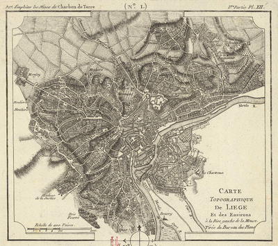
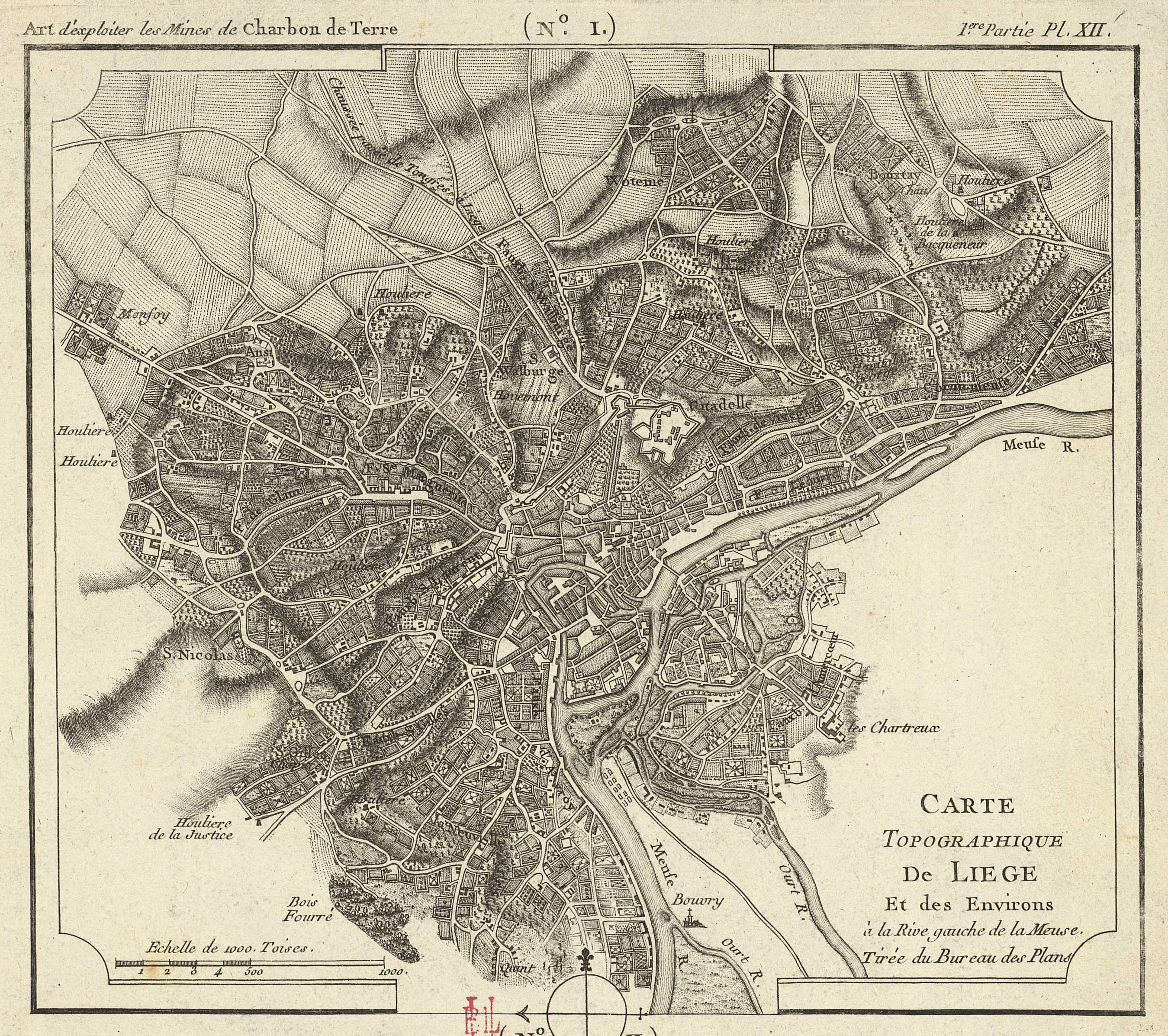
Carte topographique de Liège et des environs à la rive gauche de la Meuse tirée au Bureau des Plans.
Authors, creators, collaborators : Buache, Jean-Nicolas
Type of the represented object : Map
Permalink
https://hdl.handle.net/2268.1/1494
Détails
| Authors, creators, collaborators: | Buache, Jean-Nicolas (1741-1825) (authors) |
| Place of creation of the original object: | Paris (France) |
| First publication of the original object: | 1768 18th century Modern times (1492-1789) |
| Original object location: | Réseau des Bibliothèques |
| Collection: | Maps |
| Réseau des Bibliothèques: | Identifier: 990010855520502321 Barcode/Inventory no.: 709504331 Call number: R179A2F |
| Original object language: | French |
| Dimensions, weight or duration: | 19 x 22 cm |
| Physical description of the represented object : | 1 carte |
| Description: | Echelle [1:37 500 000] Sur la même feuille que: Carte des environs de Liège relative aux mines de charbon de terre (199F(B)) |
| Geographical Location represent or evoke: | Liège (Belgique) |
| Keyword: | Liège (Belgique) -- Cartes; Liège (Province) -- Cartes |
| CREF classifications: | Sciences de la terre et du cosmos |
| Classifications: | Physical, chemical, mathematical & earth Sciences => Earth sciences & physical geography |
| Original object linked resource: | Extr. de : "Art d'exploiter les mines de charbon de terre. 1ère partie, pl. XII, n°1. |
| Part of: | Public domain |
| Permalink: | https://hdl.handle.net/2268.1/1494 |
Items in DONum are protected by copyright, with all rights reserved, unless otherwise indicated.
