
Informations
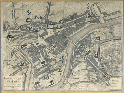
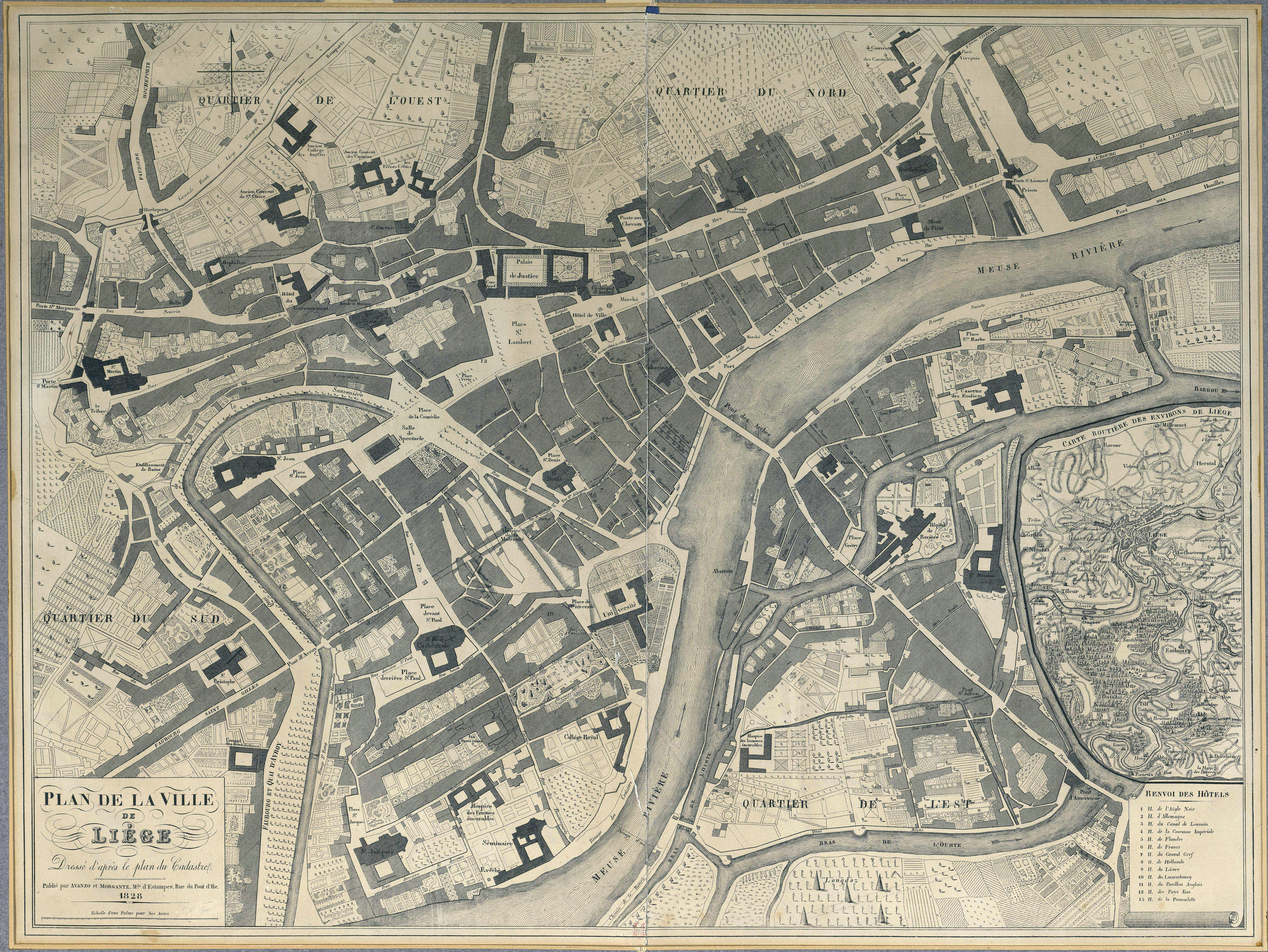
Plan de la ville de Liège dressé d'après le plan du Cadastre
Authors, creators, collaborators :
Type of the represented object : Plan (map)
Permalink
https://hdl.handle.net/2268.1/1487
Détails
| Producers, publishers: | Avanzo et Morgante |
| Place of creation of the original object: | Liège (Belgique) |
| First publication of the original object: | 1828 19th century Contemporary time (1789-20..) |
| Original object location: | Réseau des Bibliothèques |
| Collection: | Maps |
| Identifiers: | 000109F (cote ULiège) 709504111 (code-barres ULiège) |
| Réseau des Bibliothèques: | Identifier: 990010742810502321 |
| Original object language: | French |
| Dimensions, weight or duration: | 53 x 67 cm |
| Physical description of the represented object: | 1 plan : noir & blanc, entoilé |
| Description: | Echelle exprimée en aunes et en palmes sur le plan. |
| Geographical Location represent or evoke: | Liège (Belgique) |
| Keyword: | Liège (Belgique) -- Plans |
| Original object is part of: | Extrait de : "Liège à travers les âges : les rues de Liège" / Théodore Gobert, tome 6. |
| Part of: | Public domain |
| Permalink: | https://hdl.handle.net/2268.1/1487 |
Items in DONum are protected by copyright, with all rights reserved, unless otherwise indicated.
