Informations
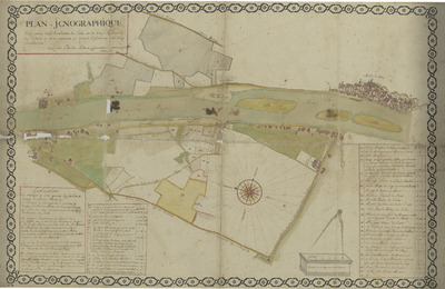
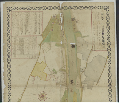
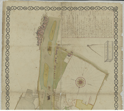
Plan icnographique d'une partie des jurisdictions de Lixhe, et de Visé, signanment des endroits les plus apparents qui doivent confiners les dites deux jurisdictions tiré par Charles LeComte geometre et arpenteur juré, anno 1757. Lecomte, Charles cartographe Belgique, 1757
Authors, creators, collaborators : Lecomte, Charles
Type of the represented object : Plan (map)
Permalink
https://hdl.handle.net/2268.1/13063
Détails
| Other title: | Plan iconographique d'une partie des jurisdictions de Lixhe, et de Visé, signanment des endroits les plus apparents qui doivent confiners les dites deux jurisdictions tiré par Charles LeComte geometre et arpenteur juré, anno 1757. |
| Authors, creators, collaborators: | Lecomte, Charles (cartographers) |
| Place of creation of the original object: | Belgique |
| Creation of the original object: | 1757 18th century Modern times (1492-1789) |
| Original object location: | Réseau des Bibliothèques |
| Réseau des Bibliothèques: | Identifier: 9922989130102321 Barcode/Inventory no.: ALMA338829 Call number: Ms6757 |
| Original object language: | French |
| Material, support of the original object: | Papier |
| Dimensions, weight or duration: | 660 x 990 millimètres. |
| Physical description of the represented object : | 1 carte Carte colorée. Carte à l'échelle de 50 verges de 16 piés chacune. |
| Description: | Source d'acquisition : Don Henrion-De Pauw 2023 |
| Keyword: | Visé (Belgique); Lixhe (Belgique); Cartes; Manuscrits |
| Classifications: | Physical, chemical, mathematical & earth Sciences => Earth sciences & physical geography |
| Part of: | Public domain |
| Permalink: | https://hdl.handle.net/2268.1/13063 |
Ms6757-complet-sansbords.tif
Description: Plan complet, sans bords
Size: 249.44 MB
Format: TIFF
Access type: Open Access
Description: Plan complet, sans bords
Size: 249.44 MB
Format: TIFF
Access type: Open Access
Items in DONum are protected by copyright, with all rights reserved, unless otherwise indicated.


