
Informations
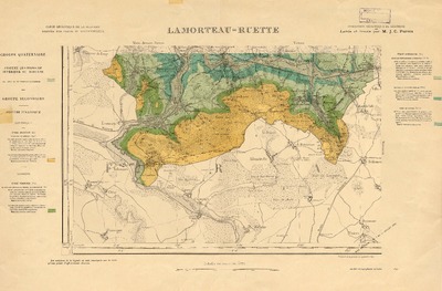
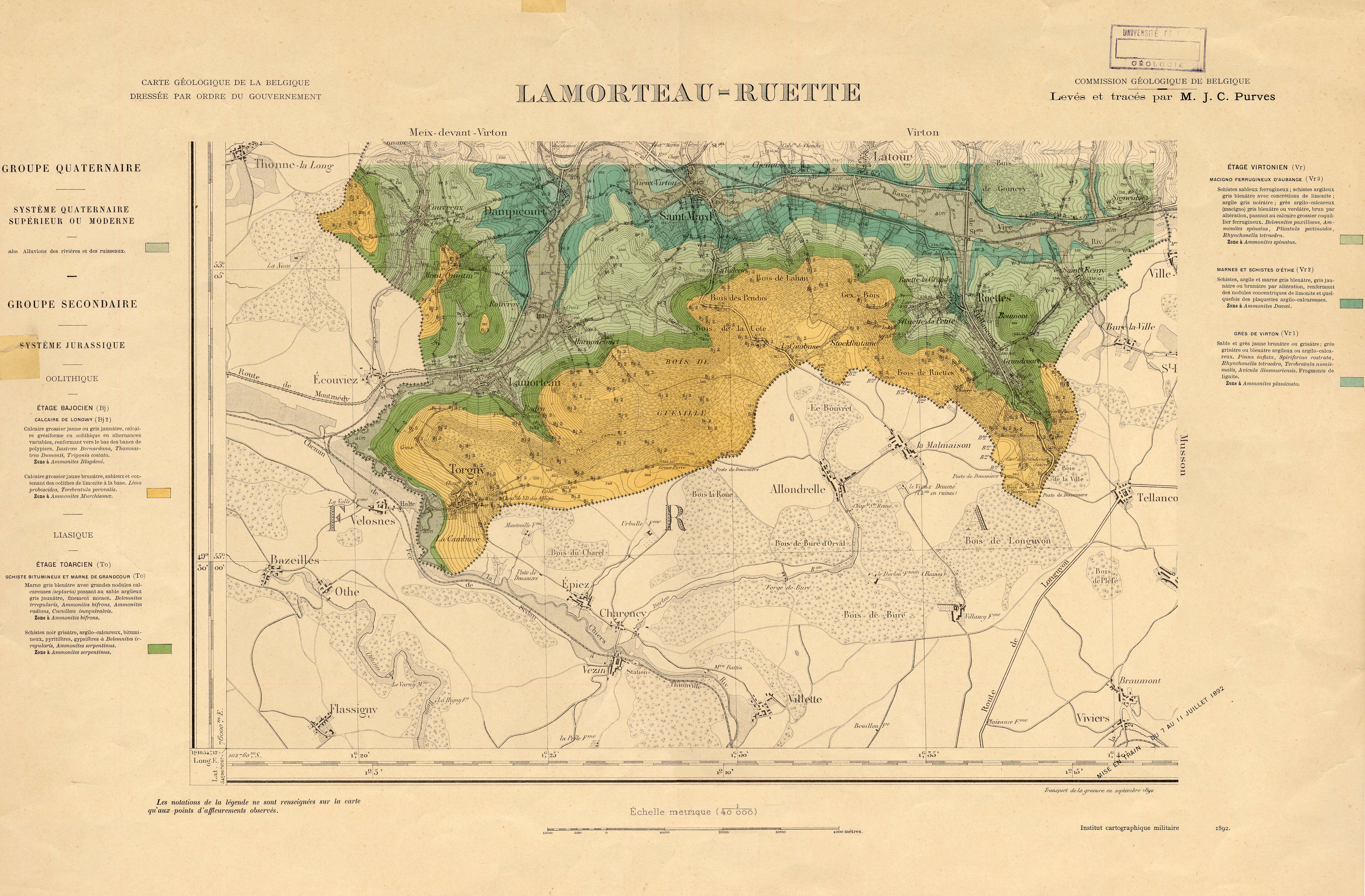
Carte géologique de la Belgique. no.225, Lamorteau - Ruette
Authors, creators, collaborators : Purves, John Clay
Type of the represented object : Map
Permalink
https://hdl.handle.net/2268.1/1275
Détails
| Authors, creators, collaborators: | Purves, John Clay (1825-1903) (authors) |
| Producers, publishers: | Institut cartographique militaire |
| Place of creation of the original object: | Bruxelles |
| Creation of the original object: | 1892 19th century Contemporary time (1789-20..) |
| Original object location: | Réseau des Bibliothèques |
| Collection: | Maps |
| Réseau des Bibliothèques: | Identifier: 990005999090502321 |
| Original object language: | French |
| Material, support of the original object: | papier |
| Dimensions, weight or duration: | 26 x 41 cm, sur feuille de 42 x 62 cm |
| Physical description of the represented object: | 1 carte : coul. |
| Description: | Échelle 1:40.000 |
| Geographical Location represent or evoke: | Belgique |
| Original object is part of: | Cartes géologiques de la Belgique au 1:40.000 |
| Part of: | Public domain |
| Permalink: | https://hdl.handle.net/2268.1/1275 |
Items in DONum are protected by copyright, with all rights reserved, unless otherwise indicated.
