Informations
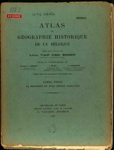
Atlas de géographie historique de la Belgique. Fascicule 4: Carte VIII/IX. La Belgique au XVIIe siècle (1648-1713)
Authors, creators, collaborators : Van der Essen, Léon; Ganshof, François-Louis; Maury, Jacques; ...
Type of the represented object : Atlas
Permalink
https://hdl.handle.net/2268.1/1255
Détails
| Authors, creators, collaborators: | Van der Essen, Léon (1883-1963) (editors) Ganshof, François-Louis (1895-1980) (contributors) Maury, Jacques (1889-19..) (contributors) Bonenfant, Paul (1899-1965) (contributors) |
| Producers, publishers: | Librairie nationale d'art et d'histoire |
| Place of creation of the original object: | Bruxelles (Belgique) ; Paris (France) |
| First publication of the original object: | 1927 20th century Contemporary time (1789-20..) |
| Original object location: | Réseau des Bibliothèques |
| Identifiers: | 000820D(4) (cote ULiège) 700504881 (code-barres ULiège) |
| Réseau des Bibliothèques: | Identifier: 990009837300502321 Barcode/Inventory no.: 700504881 Call number: 000820D(4) |
| Original object language: | French |
| Physical description of the represented object : | 15 p. |
| Geographical Location represent or evoke: | Belgique -- 1482-1713 (Période espagnole) Liège (principauté) Stavelot (Belgique) Malmédy (Belgique) Bouillon (Belgique) |
| Period or event mentioned: | 17e siècle |
| Keyword: | Belgique -- Géographie historique |
| CREF classifications: | Sciences de la terre et du cosmos Histoire |
| Classifications: | Arts & humanities => History |
| Part of: | Protected domain |
| Permalink: | https://hdl.handle.net/2268.1/1255 |
Items in DONum are protected by copyright, with all rights reserved, unless otherwise indicated.


