
Informations
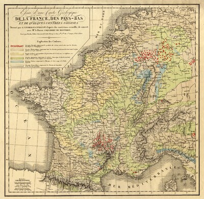
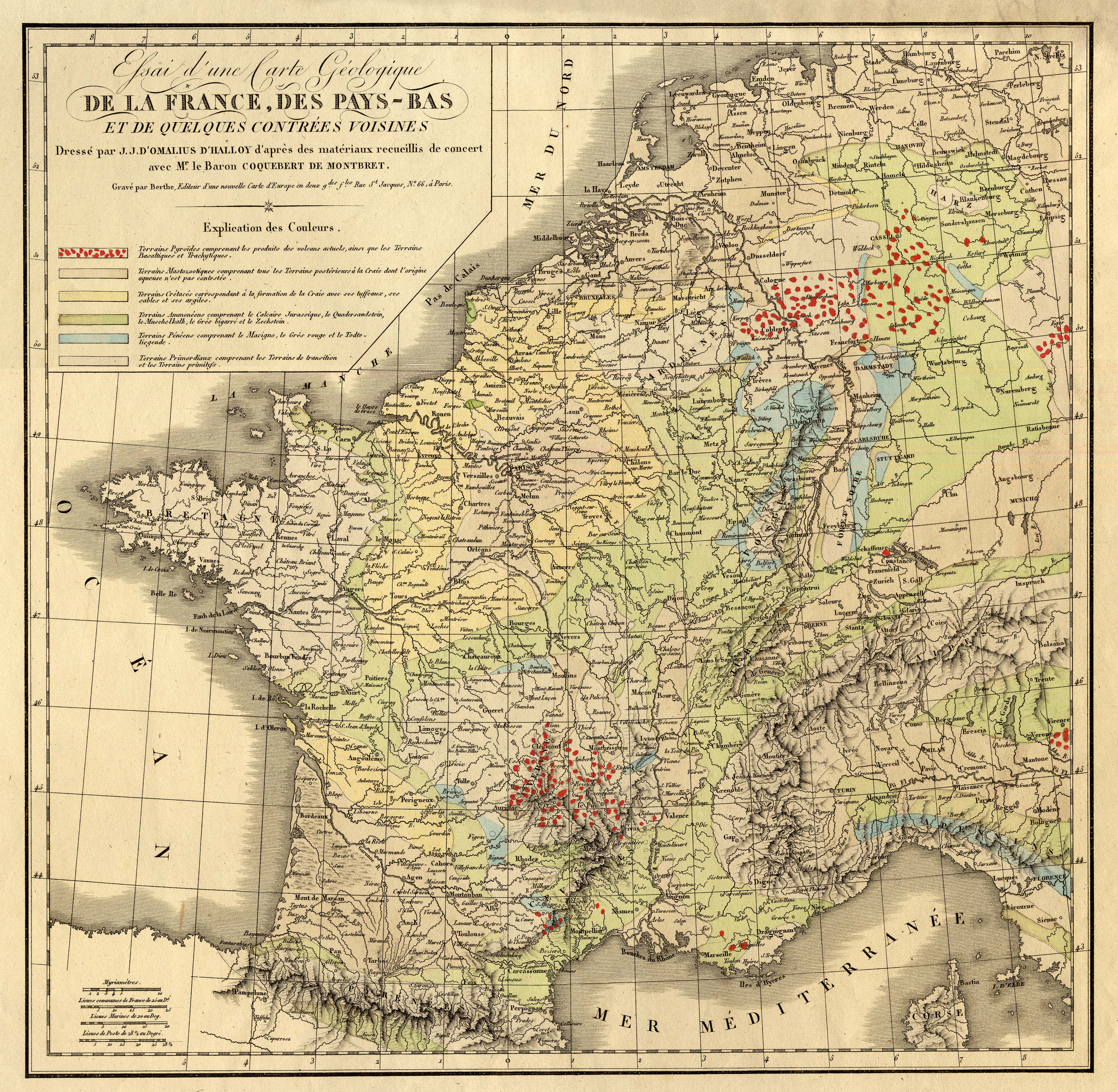
Essai d'une carte géologique de la France, des Pays-bas et de quelques contrées voisines
Authors, creators, collaborators : Omalius d'Halloy, Jean Julien d'
Type of the represented object : Map
Permalink
https://hdl.handle.net/2268.1/12178
Détails
| Authors, creators, collaborators: | Omalius d'Halloy, Jean Julien d' (1783-1875) (authors) |
| Producers, publishers: | Berthe |
| Place of creation of the original object: | Paris |
| Creation of the original object: | 1822 19th century Contemporary time (1789-20..) |
| Original object location: | Réseau des Bibliothèques |
| Original object language: | French |
| Material, support of the original object: | papier |
| Dimensions, weight or duration: | 36 x 37 cm |
| Description: | Echelle [ca 1:3.700.000] |
| Geographical Location represent or evoke: | France Belgique Pays-Bas |
| Part of: | Public domain |
| Permalink: | https://hdl.handle.net/2268.1/12178 |
Items in DONum are protected by copyright, with all rights reserved, unless otherwise indicated.
