
Informations
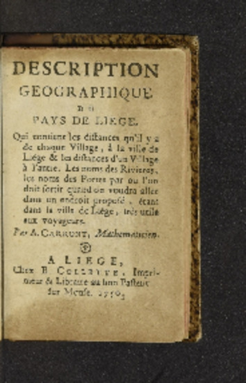
Description géographique du Pays de Liège, qui contient les distances qu'il y a de chaque village, à la ville de Liège & les distances d'un village à l'autre. Les noms des rivieres, les noms des portes par ou l'on doit sortir quand on voudra aller dans un endroit proposé, étant dans la ville de Liége, très-utile aux voyageurs / par A. Carront, mathematicien.
Authors, creators, collaborators : Carront, A.
Type of the represented object : Book
Permalink
https://hdl.handle.net/2268.1/10388
Détails
| Authors, creators, collaborators: | Carront, A. (authors) |
| Producers, publishers: | [Liège] A Liege, chez B. Collette, imprimeur & libraire au bon Pasteur sur Meuse. 1750. |
| Place of creation of the original object: | Liège (Belgique) |
| First publication of the original object: | 1750 18th century Modern times (1492-1789) |
| Original object location: | Réseau des Bibliothèques |
| Réseau des Bibliothèques: | Identifier: 990010892250502321 Barcode/Inventory no.: 706722946 Call number: 900795A |
| Original object language: | French |
| Material, support of the original object: | Papier 12° |
| Dimensions, weight or duration: | 11 cm |
| Physical description of the represented object: | 160 pages |
| Description: | Empreinte : resà auen s.rs BoHa (3) 1750 (A)
Signatures : A-H¹²/⁶ I⁸ |
| Geographical Location represent or evoke: | Liège (Belgique ; région) |
| Keyword: | Liège (Belgique) -- 18e siècle -- Cartes et plans; Distances; Noms géographiques -- Liège (Belgique) -- 18e siècle |
| Other contributors: | Collette, Barthelemi (printers-booksellers) De Jonghe, Jean Baptiste Théodore (1801-1860) (former owners) |
| Part of: | Public domain |
| Permalink: | https://hdl.handle.net/2268.1/10388 |

Items in DONum are protected by copyright, with all rights reserved, unless otherwise indicated.
