
Informations
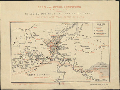
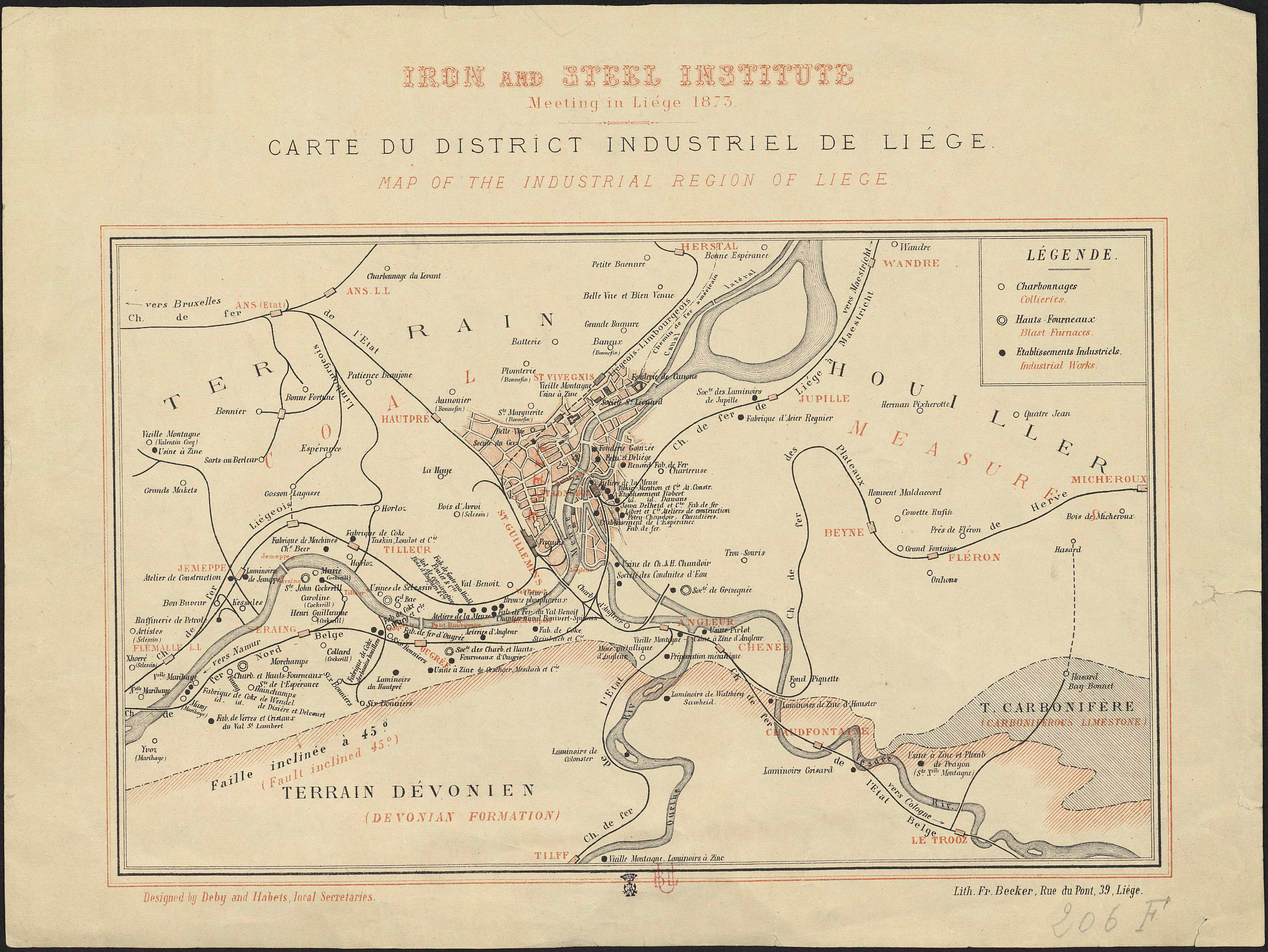
Carte du district industriel de Liège.
Author(s), creator(s), collaborator(s) : Deby; Habets, Alfred
Type of the represented object : Map
Permalink
https://hdl.handle.net/2268.1/3761
Détails
| Other title: | Map of the industrial region of Liège ; Iron and Steel Institute, meeting in Liège 1873 |
| Author(s), creator(s), collaborator(s): | Deby (author) Habets, Alfred (1839-1908) (author) |
| Editor: | Liège : Lith. Fr. Becker |
| Place of creation of the original object: | Liège (Belgique) |
| First publication of the original object: | 1873 19th century Contemporary time (1789-20..) |
| Original object location: | Réseau des Bibliothèques |
| Collection: | Maps |
| Identifiant(s): | 206F (cote ULiège) 709504324 (code-barres ULiège) |
| Original object language: | French English |
| Abstract: | Légende reprenant les symboles utilisés pour représenter les charbonnages, les hauts-fourneaux et les établissements industriels |
| Material, support of the original object: | Papier |
| Dimensions, weight or duration: | 20 x 31 cm |
| Physical description of the represented object : | 1 carte : couleurs |
| Geographical Location represent or evoke: | Liège (Belgique) |
| Keyword: | Industrie -- Belgique -- Liège (Belgique) -- Cartes |
| CREF classification(s): | Sciences de la terre et du cosmos Sciences de l'ingénieur |
| Classification(s): | Physical, chemical, mathematical & earth Sciences => Earth sciences & physical geography Engineering, computing & technology => Multidisciplinary, general & others |
| Part of: | Public domain |
| Permalink: | https://hdl.handle.net/2268.1/3761 |
Items in DONum are protected by copyright, with all rights reserved, unless otherwise indicated.