
Informations
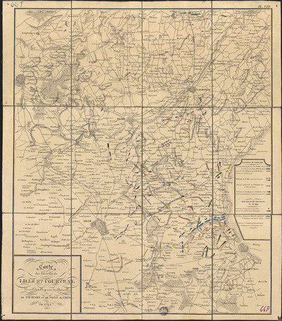
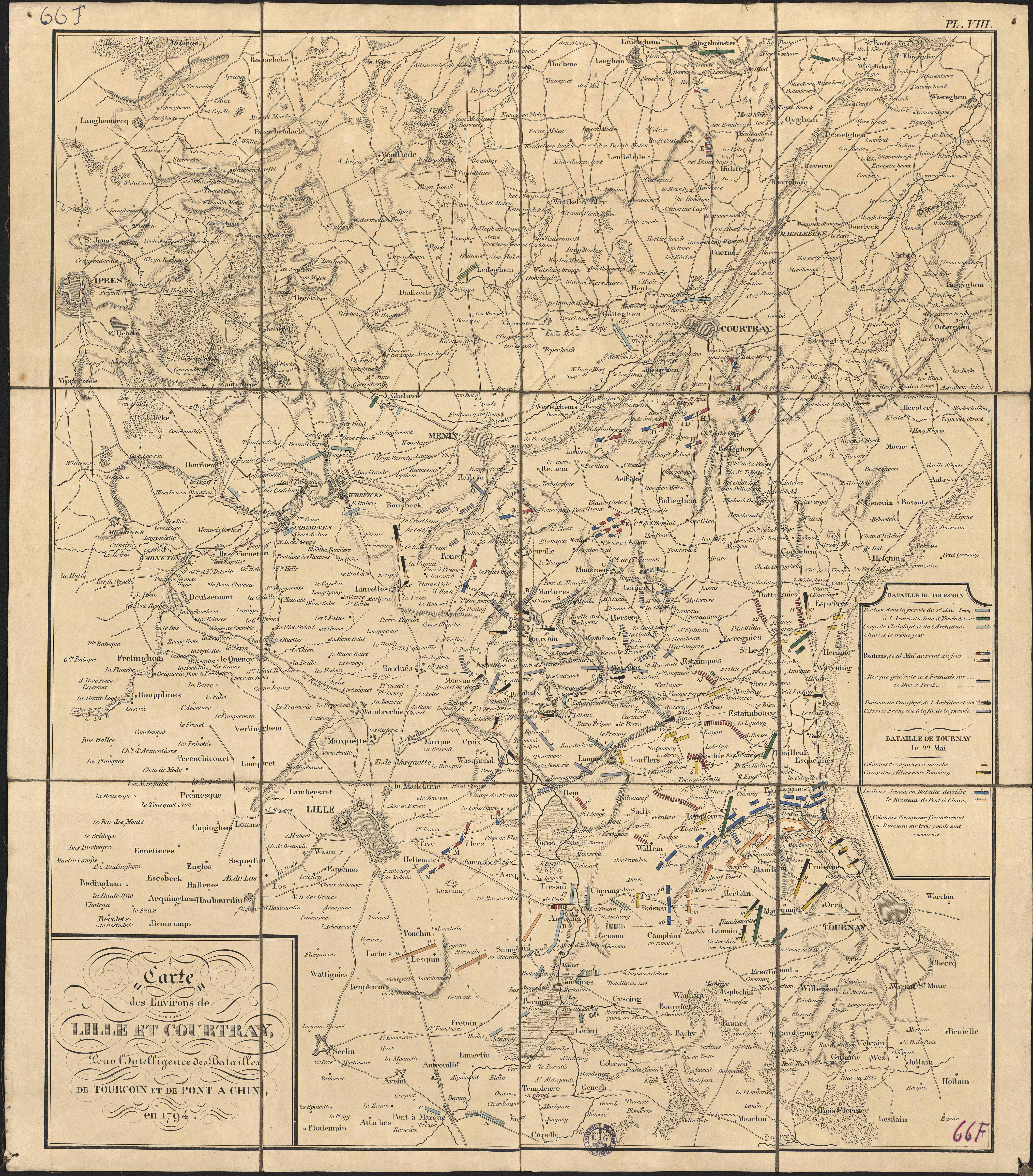
Carte des environs de Lille et Courtray, pour l'intelligence des batailles de Tourcoin et de Pont à Chin, en 1794.
Author(s), creator(s), collaborator(s) :
Type of the represented object : Map
Permalink
https://hdl.handle.net/2268.1/2701
Détails
| Editor: | [Bruxelles] : J. B. Petit |
| Place of creation of the original object: | Bruxelles (Belgique) |
| First publication of the original object: | 1839 20th century Contemporary time (1789-20..) |
| Original object location: | Réseau des Bibliothèques |
| Collection: | Maps |
| Identifiant(s): | 66F (cote ULiège) ; 701100711 (code-barres ULiège) |
| Original object language: | French |
| Abstract: | Echelle non mentionnée |
| Material, support of the original object: | Papier |
| Dimensions, weight or duration: | 58 x 48 cm |
| Physical description of the represented object : | 1 carte : couleurs. |
| Description: | Légende reprenant les symboles utilisés pour représenter les positions des corps d'armée durant la bataille de Tourcoing et celle de Tournai (le 22 mai). Appartient à la collection Atlas pour servir à l'intelligence de l'histoire critique et militaire des guerres de la Révolution, planche VIII. |
| Geographical Location represent or evoke: | Courtrai (Belgique) Lille (France) |
| Keyword: | Tourcoing; Bataille de (1794) -- Cartes; France -- 1794 -- Cartes; Guerre de la première coalition (1792-1797) -- Campagnes et batailles -- France -- Cartes |
| CREF classification(s): | Histoire |
| Classification(s): | Arts & humanities => History |
| Part of: | Public domain |
| Permalink: | https://hdl.handle.net/2268.1/2701 |
Items in DONum are protected by copyright, with all rights reserved, unless otherwise indicated.