
Informations
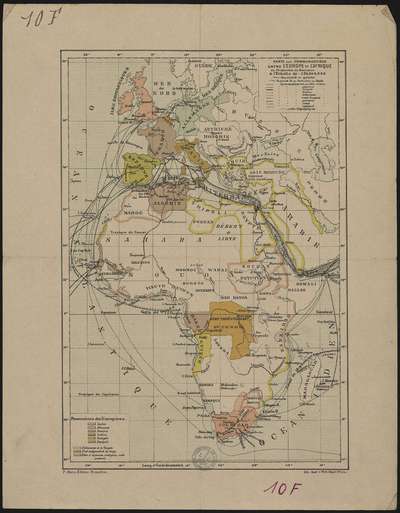
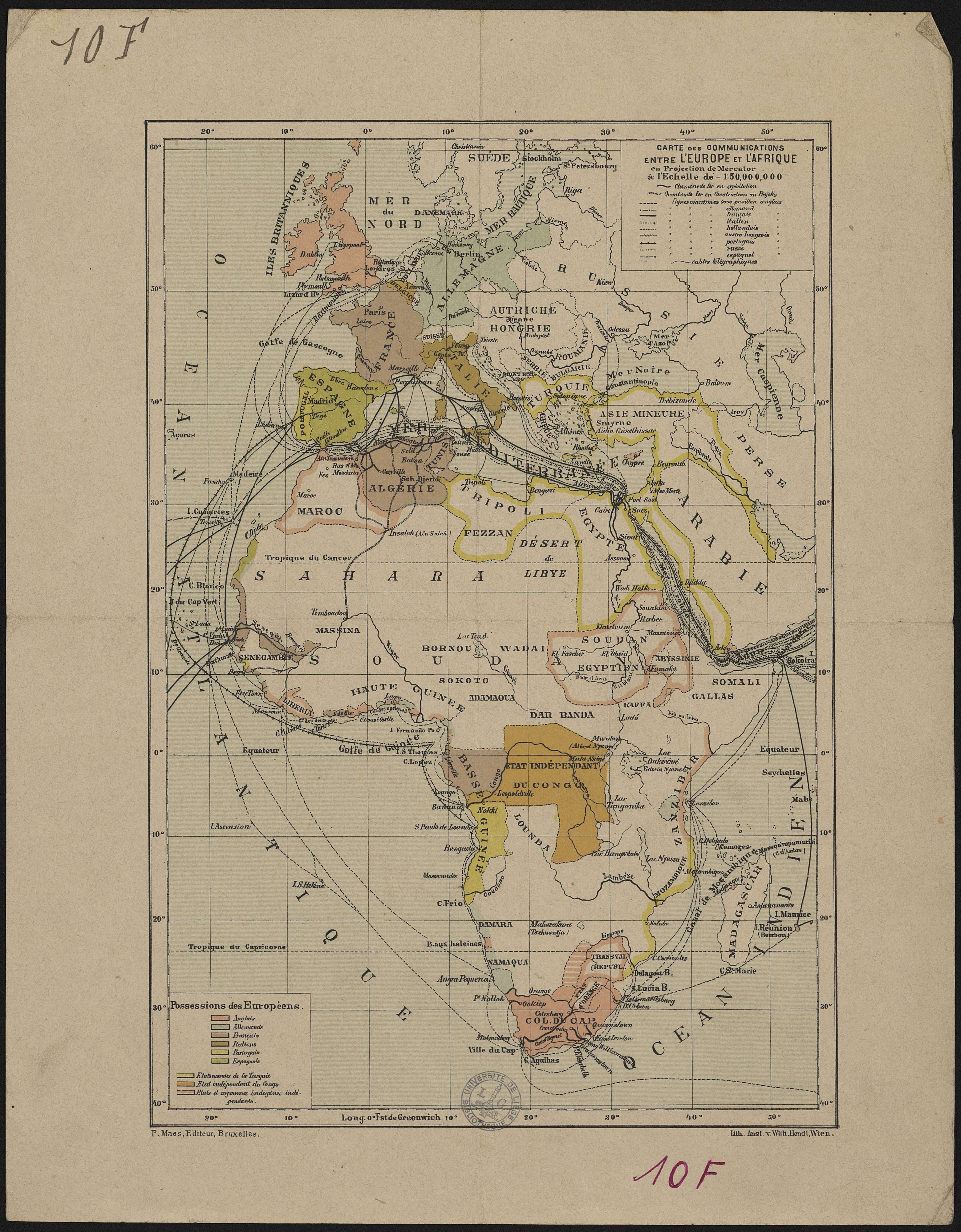
Carte des communications entre l'Europe et l'Afrique en projection de Mercator à l'échelle de 1:50.000.000.
Author(s), creator(s), collaborator(s) :
Type of the represented object : Map
Permalink
https://hdl.handle.net/2268.1/2425
Détails
| Editor: | P. Maes Wien : Lith. Anst. v. Wilh. Hendl |
| Place of creation of the original object: | Bruxelles (Belgique) |
| First publication of the original object: | 20th century Contemporary time (1789-20..) |
| Original object location: | Réseau des Bibliothèques |
| Identifiant(s): | 10F (cote ULiège) 701104185 (code-barres ULiège) |
| Original object language: | French |
| Abstract: | Echelle 1:50 000 000 Légende reprenant les symboles utilisés pour représenter les chemins de fer, les lignes maritimes, les possessions des Européens |
| Material, support of the original object: | Papier |
| Dimensions, weight or duration: | 29 x 19 cm |
| Physical description of the represented object : | 1 carte : couleurs. |
| Geographical Location represent or evoke: | Europe Afrique |
| Keyword: | Chemins de fer -- Europe -- Cartes; Chemins de fer -- Afrique -- Cartes; Voies navigables -- Europe -- Cartes; Voies navigables -- Afrique -- Cartes |
| CREF classification(s): | Bâtiments, génie civil, transports Histoire |
| Classification(s): | Engineering, computing & technology => Civil engineering Arts & humanities => History |
| Part of: | Public domain |
| Permalink: | https://hdl.handle.net/2268.1/2425 |
Items in DONum are protected by copyright, with all rights reserved, unless otherwise indicated.